
What is recorded here
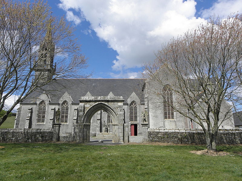
Circa 80m N of ecclesiastical remains (GA061-089001-). A large poorly preserved roughly circular enclosure (D c. 91m) now subdivided by modern fields and cut through at NNW and SSE by the county road. The line of the enclosure is clearly defined to E of the road where it has been incorporated into a bush-covered earth and stone bank which curves from NNW through E to SSE. This bank also forms the td. boundary, and is best defined from N to E (H 1.5m max.). From S to W, it has been levelled and a modern house is built on its line. From W to NNW it is defined by a low scarp (H 0.1m). The size of this enclosure and its proximity to GA061-089001- suggests that it too may have been ecclesiastical in character.
The above description is derived from the published 'Archaeological Inventory of County Galway Vol. II - North Galway'. Compiled by Olive Alcock, Kathy de hÓra and Paul Gosling (Dublin: Stationery Office, 1999).
Date of upload: 05 August 2010
The monument record does not grant public access. Check the route and ask the landowner before entering private land.
- What survives
- Recorded monument
Places near here
 Holy WellHoly well · 126 yd
 Site of R.C. ChapelChapel · 181 yd
 Castle Ffrenchgate lodge · 1.0 mi
 RoadRoad, class 3 togher · 1.1 mi
 Tower (in Ruins)Castle, tower house · 1.4 mi
 Clonbrock CastleCastle, tower house · 2.3 mi
 Sweet ChestnutSweet Chestnut · 2.4 mi
 SycamoreSycamore · 2.7 mi
 Inch IslandIsland · 4.4 mi
 Ballinlass Eviction MemorialMemorial · 5.7 mi
 Kilconnell AbbeyHeritage attraction · 7.5 mi
 Mount MaryMountain / peak · 9.0 mi
Other information
Photo: Credit not shown in the picture search · Rights wording not checked; contact us if this picture should be removed