
What is recorded here
Situated on the summit of a low hill with extensive views. Oval enclosure (dims. c. 60m NW-SE; c. 50m NE-SW) defined by a waterlogged flat-bottomed fosse (Wth 5m at the SE - 8.5m at the NE; D 0.7m) and an external bank (Wth 4.7m; ext. H 1-1.6m). The interior is level and heavily overgrown, with no indication of a perimeter bank, entrance or internal features.
The above description is derived from the published 'Archaeological Inventory of County Wicklow' (Dublin: Stationery Office, 1997). In certain instances the entries have been revised and updated in the light of recent research.
Date of upload/revision: 17 December 2008
The monument record does not grant public access. Check the route and ask the landowner before entering private land.
- What survives
- Recorded monument
Places near here
 Portal tomb in BroomfieldsPortal tomb · 932 yd
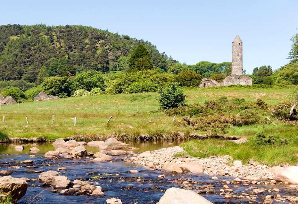 Ball MoatCastle, motte · 1632 yd
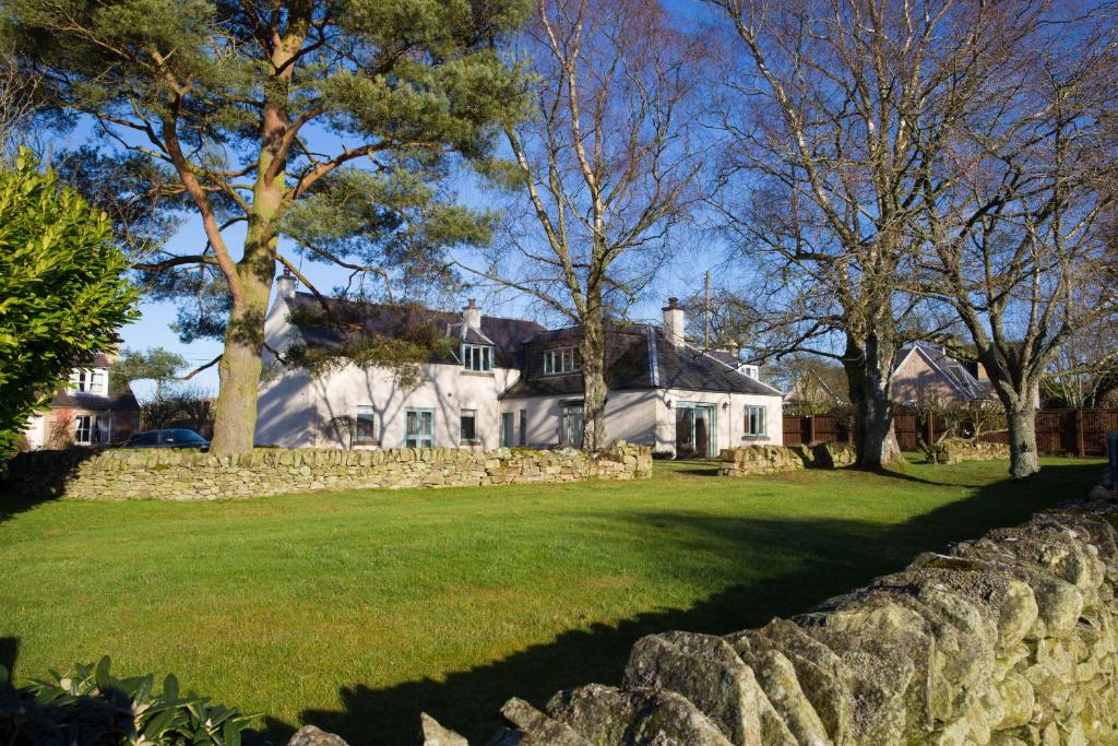 Enclosure in BroomfieldsEnclosure · 1646 yd
 Church (in Ruins), Grave Yd.Church · 1650 yd
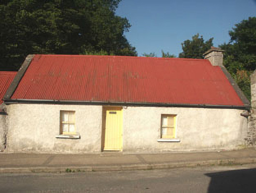 Miller Byrne's Cottagehouse · 1679 yd
 Pedunculate OakPedunculate Oak · 1.2 mi
 English hollyEnglish holly · 1.6 mi
 Castleruddery MotteArchaeological place · 2.2 mi
 PinnacleMountain / peak · 2.6 mi
 Ballyhook HillMountain / peak · 2.9 mi
 Burial ground in CrehelpBurial ground · 3.3 mi
 Memorial to 1798 rebellionMonument · 3.4 mi
Other information
Photo: Credit not shown in the picture search · Rights wording not checked; contact us if this picture should be removed