What is recorded here
Situated atop N-S ridge with wooded area to S. Marked on the 1909 edition of the OS 6-inch map; a subcircular enclosure (max. dims. c. 60m E-W; 50m N-S). Faint remains of the bank survive at SE and S, and the fosse at NW. No other visible surface remains. The enclosure was removed c. 15yrs ago when the whole field was cleared of bushes etc. David Sweetman, Olive Alcock and Bernie Moran.
From the National Monuments Service (Archaeological Survey of Ireland) record LA025-019
The monument record does not grant public access. Check the route and ask the landowner before entering private land.
- What survives
- Recorded monument
Places near here
Photo credits
- National Inventory of Architectural Heritage
- Andrewmc, Wikimedia Commons · CC BY 4.0
- Mike Searle, Geograph · CC BY-SA 2.0
- A.-K. D., Wikimedia Commons · CC BY-SA 4.0
- Algirdas at Lithuanian Wikipedia, Wikimedia Commons · Public domain
- Graham Horn, Geograph · CC BY-SA 2.0
- Mgtmquinn, Wikimedia Commons · CC BY-SA 4.0
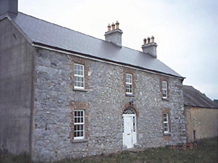 Milltown HouseHouse · 801 yd
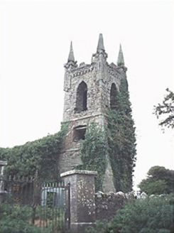 Rathaspick ChurchChurch/chapel · 1243 yd
 Grave YardGraveyard · 1.8 mi
 Bawn in BallyadamsBawn · 2.1 mi
 Ballyadams CastleCastle · 2.1 mi
.jpg/250px-St_Brigid's_Well_(30653).jpg "Photo: A.-K. D., Wikimedia Commons · CC BY-SA 4.0") OutlinedHoly well · 3.3 mi
OutlinedHoly well · 3.3 mi Dm PenderMemorial · 3.4 miBrackney WoodForest · 4.5 mi
 Pedunculate Oak4.9 mi
 Oughaval Wood MapVisitor information · 5.1 mi
 CemeteryGraveyard · 5.4 mi
 Town HallMuseum · 5.6 mi
More archaeology and monuments in County Laois · All of County Laois
What do you know about this place?