What is recorded here
Father Shearman identified a circular fort and rectangular enclosures high on the north slope at Balkill in the mid-19th century. Those faded marks may have framed a small household, a seasonal camp or a forgotten boundary, yet they still prove that people shaped the demesne long before modern roads or hedges.
Father Shearman in the mid-19th century identified a circular fort and rectangular enclosures high up in the N slope at Balkill (Shearman 1866-69, 330; Westropp 1922, 62).
Compiled by: Geraldine Stout
Date of upload: 26 August 2011
The monument record does not grant public access. Check the route and ask the landowner before entering private land.
- What survives
- Recorded monument
Places near here
 National Transport MuseumMuseum · 338 yd
 Church (in ruins)Chapel · 409 yd
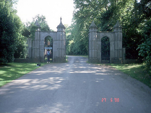 Howth Castledemesne walls/gates/railings · 496 yd
 Burial ground in Howth DemesneBurial ground · 580 yd
 Portal tomb in Howth DemesnePortal tomb · 608 yd
 Wild Rhododendron GardensWood · 703 yd
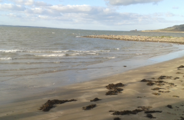 Claremont BeachBeach / strand · 917 yd
 Corr CastleCastle, tower house · 988 yd
 Howth Cliff WalkWalking route · 1062 yd
 The Old CourthouseHeritage attraction · 1065 yd
 Howth Tourism Information KioskVisitor information · 1065 yd
 Shielmartin HillMountain / peak · 1377 yd