
What is recorded here
Aerial photograph (GB90.CI.10) shows cropmark of a curvilinear enclosure defined by a fosse. First recorded as a positive cropmark in July 1990. The above report has been compiled by Dr. G.F. Barrett and supplied to the Archaeological Survey of Ireland.
Compiled by Caimin O'Brien
Date of upload / revision : 12 August 2010
The monument record does not grant public access. Check the route and ask the landowner before entering private land.
- What survives
- Recorded monument
Places near here
 Enclosure in HolycrossEnclosure · 158 yd
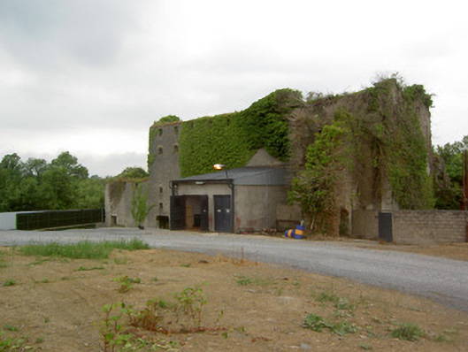 Holycross Distillerymill (water) · 606 yd
 Holycross Housepresbytery/parochial/curate's house · 902 yd
 Abbey WellHoly well · 1035 yd
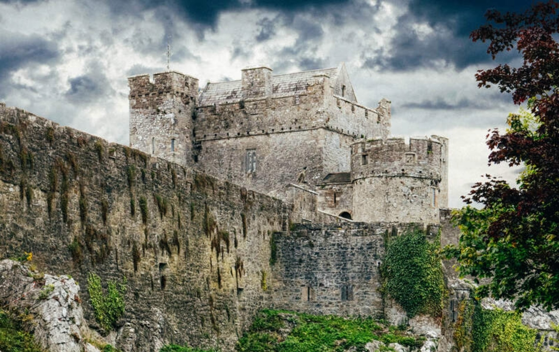 Castle (Site of)Castle, unclassified · 1714 yd
 Beakstown HouseCastle, unclassified · 1.2 mi
 Cormackstown Heritage CentreMuseum · 1.9 mi
 Killough Hill (site of)Mountain / peak · 2.5 mi
 Wildlife CorridorWood · 3.5 mi
 WoodlandWood · 3.9 mi
 Clonoulty HillMountain / peak · 4.0 mi
 Lár na PáirceMuseum · 4.1 mi
Other information
Photo: Credit not shown in the picture search · Rights wording not checked; contact us if this picture should be removed