
What is recorded here
Hightown is a vanished enclosure in County Cork, Ireland. Its sub-circular shadow appeared on the 1842 map before pasture and plough erased the bank entirely. A possible ringfort and another circular enclosure still crouch a hundred metres away, waiting for someone to remember what Hightown held when it was young.
In pasture, on N-facing slope. Shown as sub-circular enclosure (diam. c. 20m E-W; c. 15m N-S) on 1842 OS 6-inch map. SW portion of bank indicated as slight curve in field fence on subsequent eds OS 6-inch map. Levelled; no visible surface trace. A circular enclosure and possible ringfort (CO053-026---; CO053-025---) c. 100m to S and E, respectively.
The above description is derived from the published 'Archaeological Inventory of County Cork. Volume 2: East and South Cork' (Dublin: Stationery Office, 1994). In certain instances the entries have been revised and updated in the light of recent research.
Date of upload/revision: 14 January 2009
The monument record does not grant public access. Check the route and ask the landowner before entering private land.
- What survives
- Recorded monument
Places near here
 Enclosure in HightownEnclosure · 223 yd
 Enclosure in BallydaEnclosure · 752 yd
 Devonshire's HillMountain / peak · 1084 yd
 Monananig WoodsWood · 1678 yd
 Ballyready Househouse · 1.2 mi
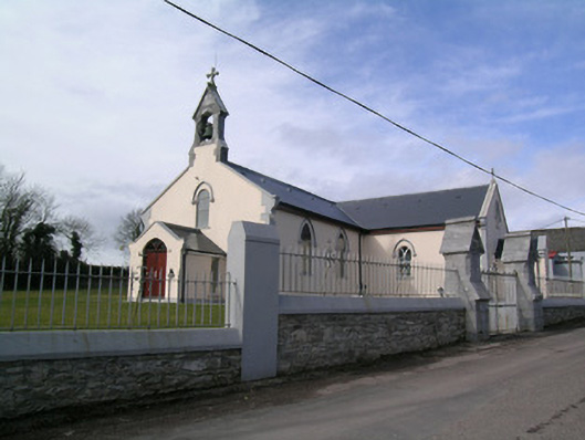 Saint Bartholomew's Churchchurch/chapel · 1.2 mi
 Rathcormac massacremassacre · 1.4 mi
 Moanbaun ForestForest · 2.3 mi
 Tower (in Ruins)Bawn · 2.5 mi
 Court (site of )Castle, unclassified · 3.1 mi
 Gleeson MemorialMemorial · 5.6 mi
 Cork WalksVisitor information · 12 mi
Other information
Photo: Credit not shown in the picture search · Rights wording not checked; contact us if this picture should be removed