
What is recorded here
Cropmark of subcircular enclosure visible on aerial photographs (GSI, S 39-40). No visible surface remains.
The above description is derived from the published 'Archaeological Inventory of County Laois' (Dublin Stationery Office, 1995) compiled by P. David Sweetman, Olive Alcock and Bernie Moran. In certain instances the entries have been revised and updated in the light of recent research.
Date of upload: 17 December 2007
The monument record does not grant public access. Check the route and ask the landowner before entering private land.
- What survives
- Recorded monument
Places near here
 Church (in Ruins), Grave YardChurch · 423 yd
 IndicatedEnclosure · 1537 yd
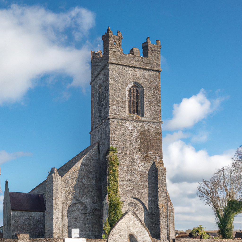 Church (in Ruins)Church · 1541 yd
 Clonburren Castle (ruins)Castle · 1.2 mi
 Enclosure in LyrogeEnclosure · 1.2 mi
 Ballagh CastleCastle · 1.8 mi
 Cnoc SeanrathaMemorial · 2.9 mi
 Clonmeen WoodWood · 2.9 mi
 Tullow HillMountain / peak · 4.3 mi
 Street fieldArchaeological place · 5.7 mi
 DelaneyMemorial · 6.6 mi
 College HillMountain / peak · 8.8 mi
Other information
Photo: Credit not shown in the picture search · Rights wording not checked; contact us if this picture should be removed