What is recorded here
Cropmark of circular shaped area (approx. diam. 17m) is clearly visible on Digital Globe aerial photograph.
Compiled by: Caimin O'Brien based on details provided by Ed O'Donovan
Date of upload: 05 June 2019
The monument record does not grant public access. Check the route and ask the landowner before entering private land.
- What survives
- Recorded monument
Places near here
 Enclosure in Griston EastEnclosure · 147 yd
 Fulacht fia in Griston EastFulacht fia · 564 yd
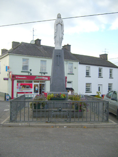 monumentmonument · 1300 yd
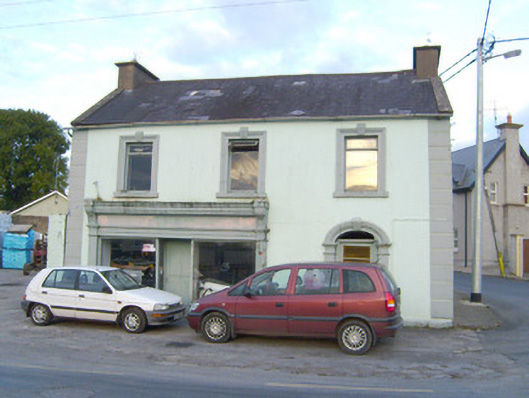 Walshhouse · 1328 yd
 Site of Castle, Castle FieldCastle, unclassified · 1.0 mi
 SlievereaghMountain / peak · 1.9 mi
 Duntryleague - hachuredCastle, ringwork · 2.7 mi
 Ballyhoura WayWalking route · 3.2 mi
 Saint Patrick's WellSpring · 3.3 mi
 Darby's Bed Walk LoopWalking route · 3.3 mi
 Duntryleague HillMountain / peak · 3.3 mi
 Palatine's RockNamed rock · 3.4 mi