What is recorded here
Situated on a low S-facing rise of ground in gently undulating pasture with possible enclosure site (TN021-078001-) c. 50m to the NNE and ringfort (TN021-077----) c. 240m to the NW. A possible site indicated as a cropmark on a aerial photograph taken in 1973 (GSIAP, R 22/1). Not visible at ground level. There are subtle undulations in the field but nothing definable as a cropmark site.
The above description is derived from 'The Archaeological Inventory of County Tipperary. Vol. 1 - North Tipperary' compiled by Jean Farrelly and Caimin O'Brien (Dublin: Stationery Office, 2002). In certain instances the entries have been revised and updated in the light of recent research.
Date of upload/revision: 27 January 2012
The monument record does not grant public access. Check the route and ask the landowner before entering private land.
- What survives
- Recorded monument
Places near here
 Grenanstown Househouse · 751 yd
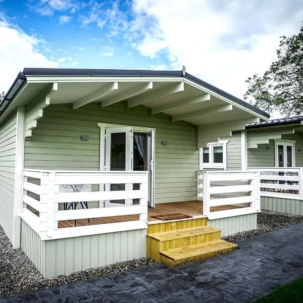 Ballinamona HouseHouse, indeterminate date · 974 yd
 IndicatedEnclosure · 1605 yd
 Enclosure in LismoreEnclosure · 1.5 mi
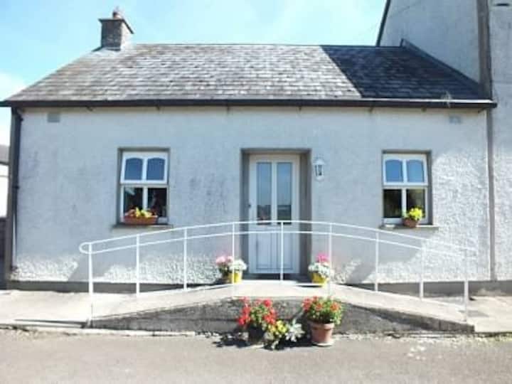 Millbrook Ho.Castle, unclassified · 1.7 mi
 Knockacraheen HillMountain / peak · 2.1 mi
 Ballintotty Castle (in ruins)Castle, tower house · 2.1 mi
 Interragh HillMountain / peak · 2.4 mi
 Killavalla WoodForest · 2.7 mi
 Kyleroe WoodWood · 3.9 mi
 James Devaney MemorialMemorial · 4.6 mi
 Old BarracksHeritage attraction · 4.8 mi