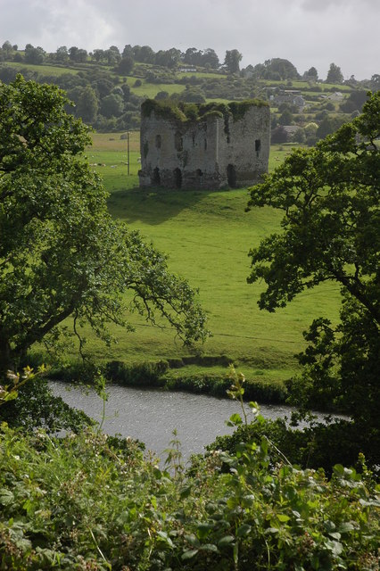
What is recorded here
Aerial photograph (GB90.BM.09) shows cropmark of a circular enclosure defined by a fosse. First recorded as a positive cropmark in July 1990. 100m north-east of LA035-016001/002.
The above report has been compiled by Dr. G.F. Barrett and supplied to the Archaeological Survey of Ireland.
Date of this report: 03 December 2009
Compiled by Caimin O'Brien
Date of upload / revision : 14 August 2010
A local fairy fort (ringfort/rath); wider significance not recorded.
The monument record does not grant public access. Check the route and ask the landowner before entering private land.
- What survives
- Recorded monument
Places near here
 Enclosure in GrenanEnclosure · 112 yd
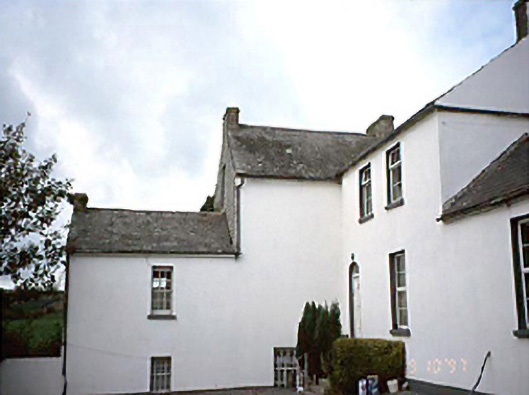 Grennan Househouse · 281 yd
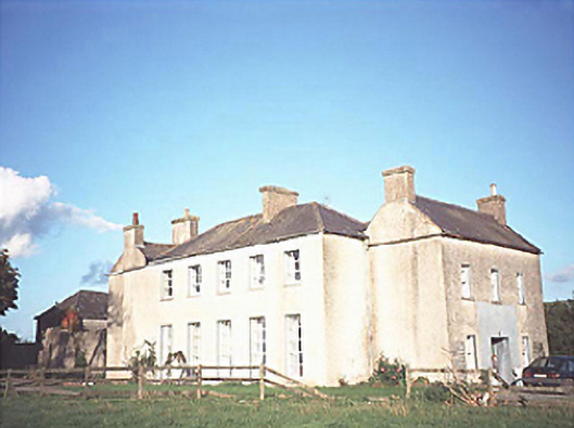 The Gleberectory/glebe/vicarage/curate's house · 906 yd
 Enclosure in BallynasleeEnclosure · 1223 yd
 Anker's IslandIsland · 1.3 mi
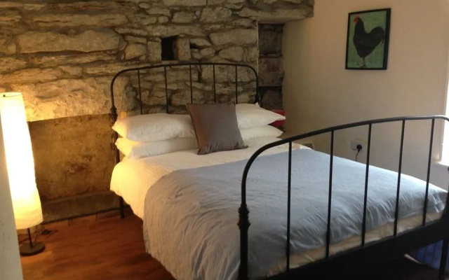 Bawn in FermoyleBawn · 1.7 mi
 CastleCastle, unclassified · 1.9 mi
 Graveyard in SraleaghGraveyard · 2.5 mi
 1798 MonumentMemorial · 3.6 mi
 Donaghmore WellSpring · 3.9 mi
 Common LimeCommon Lime · 3.9 mi
 Pedunculate OakPedunculate Oak · 4.2 mi
Other information
Photo: Credit not shown in the picture search · Rights wording not checked; contact us if this picture should be removed