What is recorded here
Aerial photograph (GB90.CG.21) shows a cropmark of a circular enclosure (diam. c. 40m) defined by a fosse.
Compiled by: Gillian Barrett
Date of Upload: 24 February, 2012
The monument record does not grant public access. Check the route and ask the landowner before entering private land.
- What survives
- Recorded monument
Places near here
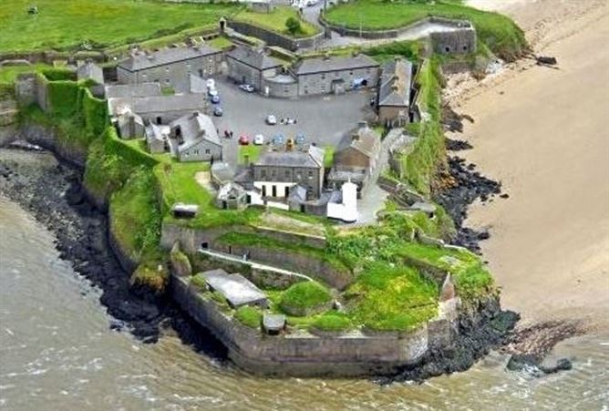
 Enclosure in GraniskEnclosure · 422 yd
 Enclosure in DamptownEnclosure · 762 yd
 Silverspring Housegates/railings/walls · 984 yd
 Chapel in Walshestown (forth By., Killinick Ed)Chapel · 1108 yd
 The Heron's MeadowForest · 1728 yd
 The Bull RockForest · 1.0 mi
 1798 Memorial PlaqueMemorial · 1.3 mi
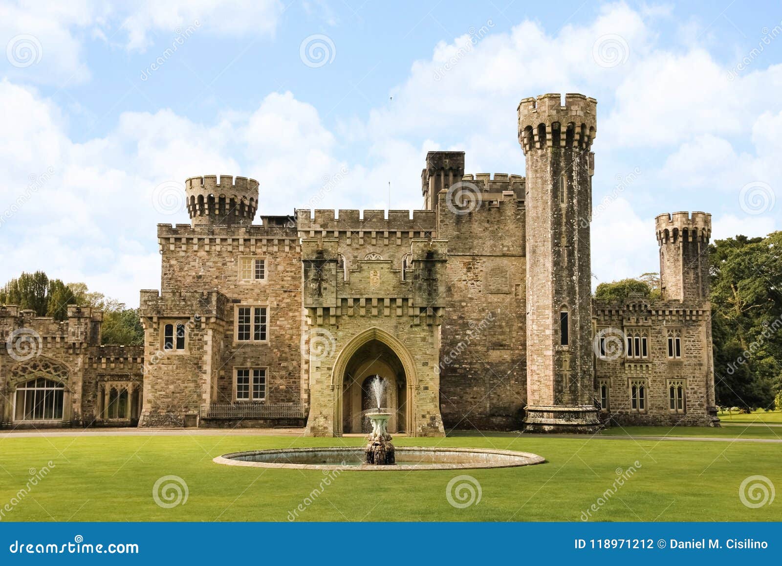 site of CastleCastle, unclassified · 1.9 mi
 CastleCastle, unclassified · 2.1 mi
 The HamBay · 2.9 mi
 The White Hole BeachBeach / strand · 2.9 mi
 Ballyhealy BeachBeach / strand · 3.2 mi