What is recorded here
On a wide natural terrace between the flood plain and upper valley slopes, in rolling grassland. Shown as a roughly circular enclosure (overall diam. c. 30m) on the 1st (1839) ed. OS 6-inch map (surveyed 1839). It is not visible at ground level. On Digitalglobe imagery (viewed 31 October 2018) a trackway appears to be running roughly NW-SE across the monument.
The monument record does not grant public access. Check the route and ask the landowner before entering private land.
- What survives
- Recorded monument
Places near here
 Enclosure in GrangefertaghEnclosure · 546 yd
 Cloightheach (Round Tower)Round tower · 964 yd
 AbbeyReligious house, Augustinian canons · 984 yd
 Grangefertagh Castle (site)Archaeological place · 1267 yd
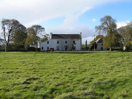 Ballyspellan Housefarm house · 1596 yd
 DelaneyMemorial · 1.5 mi
 Foulkscourt castle (in ruins)Castle, tower house · 1.5 mi
 John HelyMemorial · 1.6 mi
 Street fieldArchaeological place · 1.8 mi
 Clomantagh HillMountain / peak · 2.8 mi
 Anker's IslandIsland · 8.6 mi
 European ashEuropean ash · 12 mi