What is recorded here
In flat pasture adjacent to the Clashawley river, which is located c. 40m NE of the enclosure. Roughly circular cropmark (diam. c. 34m) identified on Air Corps aerial photograph (V.312/3087-6). The field was re-seeded in 1994/5. The field boundary to the N has been removed. There is no visible trace of the enclosure at ground level.
Compiled by: Jean Farrelly
Date of revised upload: 5 January 2015
This remains an important historical record, but the official description says the monument is no longer visible or has been destroyed. The monument record does not grant public access. Check the route and ask the landowner before entering private land.
- What survives
- No visible remains or recorded as destroyed
Places near here
 Loughcapple Bridgebridge · 319 yd
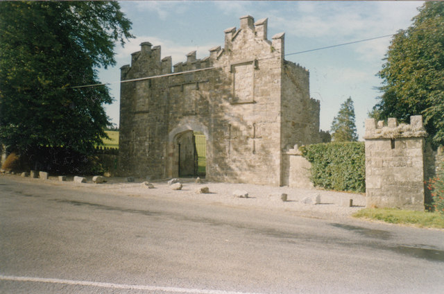 Kiltinan Castlegates/railings/walls · 378 yd
 Platform in GrangebegPlatform · 491 yd
 Supposed Site of ChurchChurch · 530 yd
 Pedunculate OakPedunculate Oak · 1467 yd
 CastleCastle, Anglo-Norman masonry castle · 1514 yd
 Killusty CastleCastle · 1.2 mi
 Persian WalnutPersian Walnut · 1.7 mi
 CarrickbrockMountain / peak · 2.0 mi
 CarrigdotiaMountain / peak · 2.1 mi
 East GateMemorial · 3.2 mi
 Loughcapple Househouse · 452 yd