What is recorded here
Situated on an E-facing slope in undulating pasture on a low natural rise of ground. The site consists of an irregular oval area (diam. 93m N-S; 75.3m E-W) defined by an earthen bank (Wth 2.2m; int. H 1.32m; ext. H 0.8m), with a smaller internal enclosure (diam. 31.5m N-S) on the summit of a rise defined by a stone bank/low wall (Wth 1.2m; int. H 0.3m; ext. H 0.42m). Part of this internal feature is visible on an aerial photograph (Ordnance Survey 0368) where it is depicted as straight wall/bank. This may be an eighteenth/nineteenth-century landscape feature depicted on the 1st ed. (1843) OS 6-inch map as a roughly oval area defined by a ring of trees and field bank.
The above description is derived from 'The Archaeological Inventory of County Tipperary. Vol. 1 - North Tipperary' compiled by Jean Farrelly and Caimin O'Brien (Dublin: Stationery Office, 2002). In certain instances the entries have been revised and updated in the light of recent research.
Date of upload/revision: 22 September 2008
The monument record does not grant public access. Check the route and ask the landowner before entering private land.
- What survives
- Recorded monument
Places near here
 Brittas Castledemesne walls/gates/railings · 713 yd
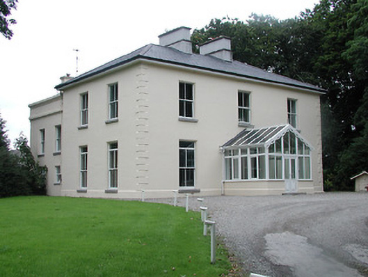 Ardfort Housecountry house · 1118 yd
 Bawn in Brittas (thurles Par.)Bawn · 1159 yd
 European ashEuropean ash · 1210 yd
 Enclosure in Brittas (thurles Par.)Enclosure · 1712 yd
 OutlinedCastle, motte · 1.1 mi
 Enclosure in Tooreen (thurles Par.)Enclosure · 1.1 mi
 Pheasant IslandHeritage attraction · 1.2 mi
 Famine & War MuseumMuseum · 1.2 mi
 WoodlandWood · 2.0 mi
 Pallas HillMountain / peak · 5.6 mi
 KnockaneMountain / peak · 5.9 mi