What is recorded here
Enclosure in Grange (smallcounty By.) is a hidden subcircular anomaly in improved pasture beside Lough Gur, with Grange stone circle above it and two more stone circles nearby. A 2008 geophysical survey found two concentric magnetic bands, one about 12.5m across and another wider than 20m, suggesting an earthen or stone boundary now lost beneath the field. People may have walked that ring, marked it, or simply forgotten it, while the stones above still stand where the earth stopped hiding its shape.
In improved pasture 300m W of Lough Gur. Grange stone circle (LI032-004001-) immediately to N, two stone circles (LI032-005/006----) are in the adjoining field to the N and possible anomalous stone group (LI032-318----) 35m to NE. Not depicted on any OSi maps. Identified by Geophysical survey in 2008 as Feature 6 in Area 1 (fluxgate gradiometer survey) and described as follows; ‘Perhaps the most striking feature registered by the survey in Area 1 is a large, subcircular anomaly [7] located near the western end of the field, some 20m south of Grange Stone Circle [LI032-004001-]. This feature, which appears to extend beyond the limits of the survey, is defined by two closely-set bands of negative magnetic gradient, the innermost of which averages about 1m in width and defines a sub-circular area measuring approximately 12.5m in diameter. The broader, outer band (2m in average width and over 20m in diameter) runs concentric with the inner ring from the southwest around to the northeast, at which point it diverges from otherwise elliptical course to extend northwards for a short distance before petering out. Although further investigation is required to determine the full extent and significance of these anomalies, their magnetic expression and layout are suggestive of some form of enclosure, possibly defined by earthen and/or stone boundaries’ (Cleary 2008, 40). No surface remains visible on OSi orthophoto taken between 2005-12 or on Google Earth orthoimages.
See attached location maps of Geophysical Survey taken from Cleary 2008
Compiled by: Martin Fitzpatrick
Date of upload: 2 April 2021
The monument record does not grant public access. Check the route and ask the landowner before entering private land.
- What survives
- Recorded monument
Places near here
 Grange Stone CircleArchaeological place · 65 yd
 Stone CirclesStone circle, embanked · 68 yd
 Lough GurVisitor information · 113 yd
 Structure in Grange (smallcounty By.)Structure · 119 yd
 Cladh na LeacRoad, road/trackway · 288 yd
 Bawn in Grange (smallcounty By.)Bawn · 547 yd
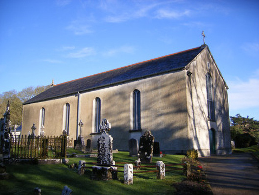 Catholic Church of Saint Patrick and Saint Brigidchurch/chapel · 773 yd
 Garret IslandCastle, unclassified · 832 yd
 Pedunculate OakPedunculate Oak · 1691 yd
 The SpectaclesVisitor information · 1.1 mi
 Lough Gur Heritage CentreVisitor information · 1.1 mi
 Glen BogForest · 2.1 mi