
What is recorded here
Half a kilometre east of Grange East, a vanished ring still marks the grass. Its bank has levelled into soil and shadow, yet the circle holds about fifty metres across, with a field fence pressing close on the east and another enclosure waiting sixty metres west. Perhaps people lived there before the ringfort two hundred metres away, or perhaps the land simply repeated itself. Either way, the grass remembers a boundary nobody built twice.
Levelled bank of roughly circular enclosure (diam. c. 50m) visible as soilmark in aerial photograph (CASAP). Field fence immediately to E. Ringfort (12563) c. 200m to ENE; circular enclosure (13766) c. 60m to W.
The above description is derived from the published 'Archaeological Inventory of County Cork. Volume 4: North Cork' (Dublin: Stationery Office, 2000). In certain instances the entries have been revised and updated in the light of recent research.
Date of upload/revision: 14 January 2009
The monument record does not grant public access. Check the route and ask the landowner before entering private land.
- What survives
- Recorded monument
Places near here
 Enclosure in Grange East (orrery and Kilmore By.)Enclosure · 159 yd
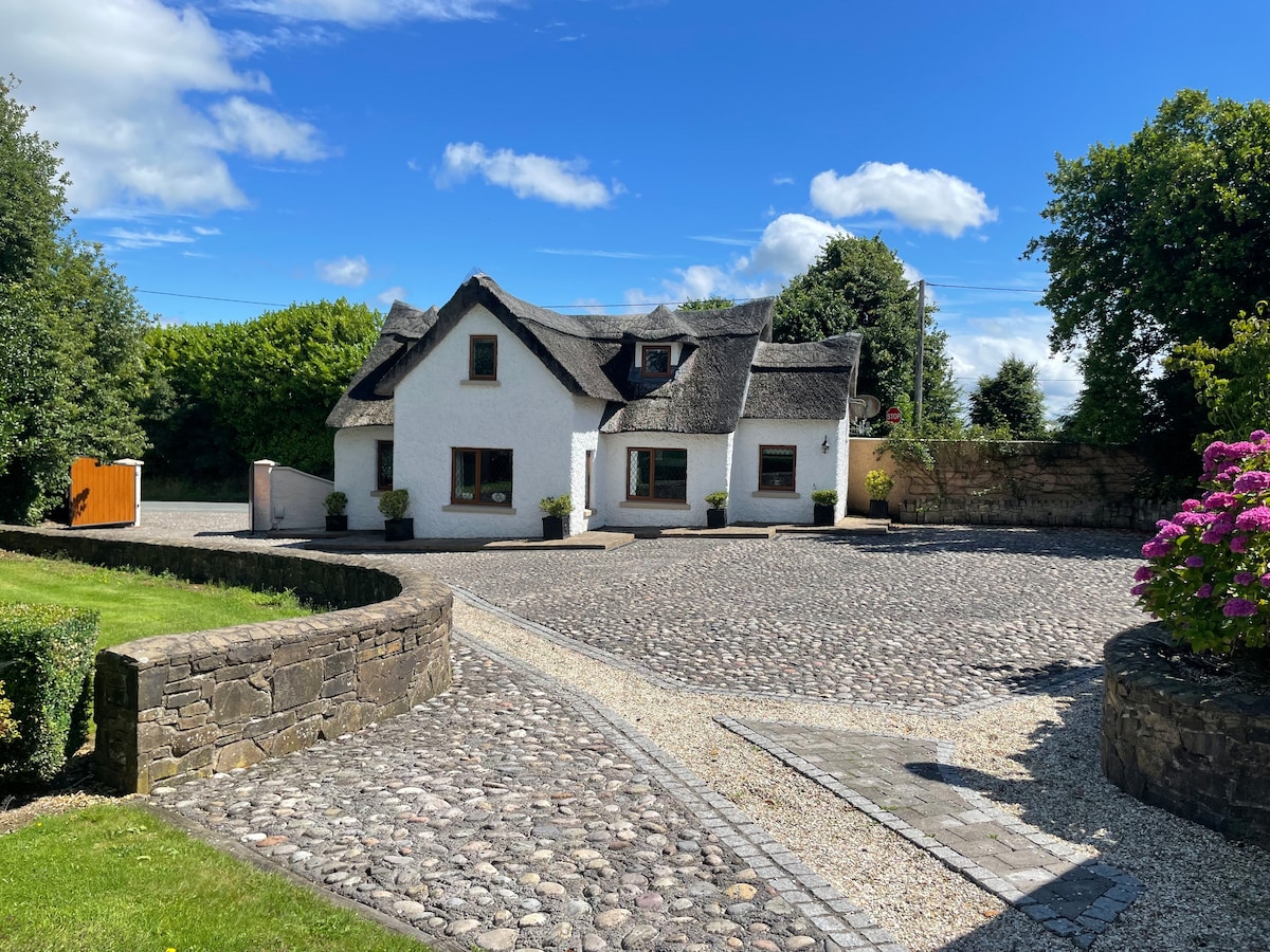 Fulacht fia in Grange West (orrery and Kilmore By.)Fulacht fia · 361 yd
 IndicatedHouse, vernacular house · 1648 yd
 Ballybeg Abbey (in Ruins)Religious house, Augustinian canons · 1684 yd
 Charles BunworthMemorial · 1.2 mi
 Lombards CastleCastle, tower house · 1.3 mi
 SycamoreSycamore · 1.5 mi
 David HurleyMemorial · 1.5 mi
 Bawn of Kilmaclenine (in Ruins)House, fortified house · 1.6 mi
 Lady's WellSpring · 2.7 mi
 Smith's WellSpring · 4.3 mi
 Doneraile HouseHeritage attraction · 4.6 mi
Other information
Photo: Credit not shown in the picture search · Rights wording not checked; contact us if this picture should be removed