What is recorded here
In fallow arable land, on an E-facing slope. Slight visible trace of levelled, roughly circular enclosure (dims. 67m N-S; 71m E-W) defined by slightly raised area. Depicted on latest edition OS 6-inch map as sub-circular area (dims. c. 55m N-S; c. 60m E-W) defined by bank and external fosse. According to Cahill (1982), enclosure levelled c. 1972.
Compiled by: Jean Farrelly
Date of upload: 26 August 2011
The monument record does not grant public access. Check the route and ask the landowner before entering private land.
- What survives
- Recorded monument
Places near here
 Site of Black CastleCastle, unclassified · 728 yd
 Ballinattin Househouse · 1375 yd
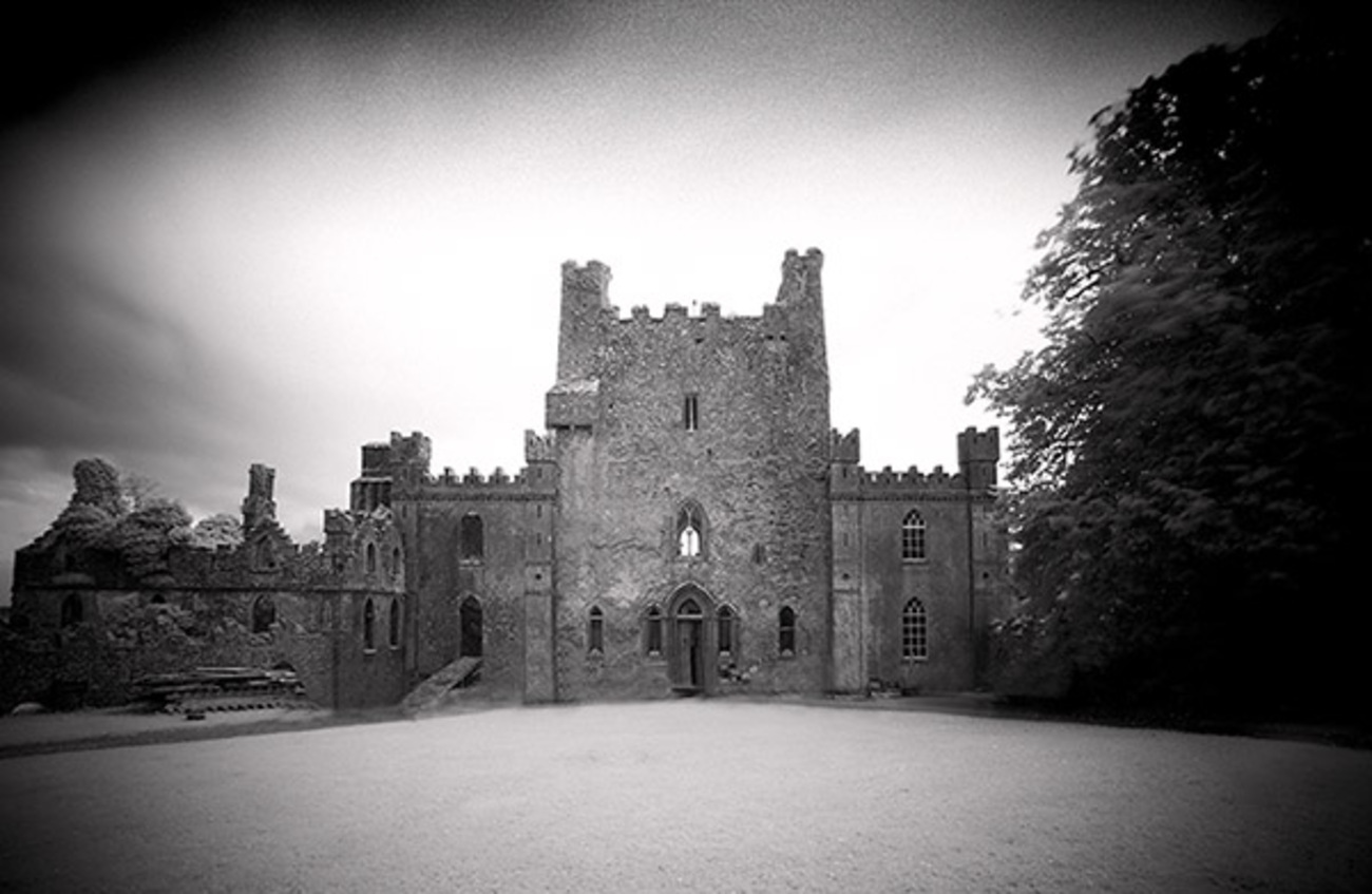 Castle Blake in ruinsCastle, tower house · 1608 yd
 Enclosure in CastleblakeEnclosure · 1.1 mi
 Enclosure in BallydoyleEnclosure · 1.1 mi
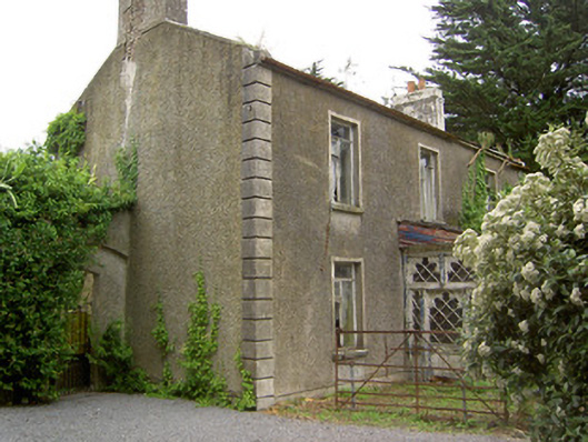 Shanballyard Househouse · 1.5 mi
 Pedunculate OakPedunculate Oak · 3.6 mi
 Caher AbbeyHeritage attraction · 6.2 mi
 Siege of Cahir Castlesiege · 6.4 miCahir CastleHeritage attraction · 6.4 mi
 European YewEuropean Yew · 7.2 mi
 Slieveanard NE TopMountain / peak · 8.1 mi