What is recorded here
At the NW side of Tipperary racecourse, 200m from the NW end of the five furlong run. Shown as a hachured circular area (diam. c. 20m) on the 1904 ed. of the OS 6-inch map. The enclosure has been levelled and is not visible at ground level.
Compiled by: Jean Farrelly
Date of upload: 26 August 2011
The monument record does not grant public access. Check the route and ask the landowner before entering private land.
- What survives
- Recorded monument
Places near here
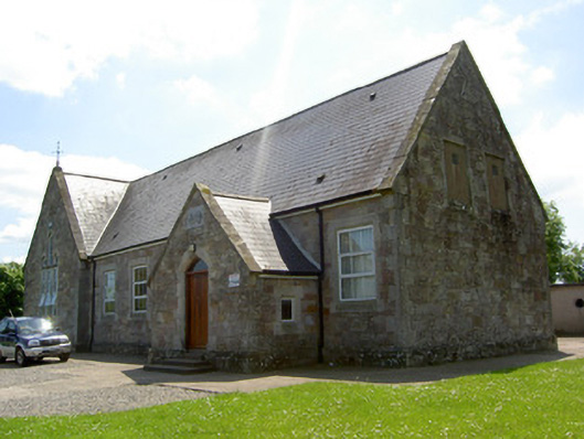 Monard National Schoolschool · 945 yd
 Hut site in BallykisteenHut site · 959 yd
 Church in Ballyryan WestChurch · 991 yd
 Enclosure in MonatogherEnclosure · 1302 yd
 CastleCastle, ringwork · 1.6 mi
 Oola Castle (in ruins)Castle, tower house · 1.9 mi
 Oola HillMountain / peak · 2.2 mi
 The Maid of ErinMemorial · 3.1 mi
 European ashEuropean ash · 5.1 mi
 The RockViewpoint · 5.2 mi
 Bansha ForestForest · 6.0 mi
 ToberagaddySpring · 6.2 mi