What is recorded here
On a slight rise in undulating pastureland. Aerial reconnaissance in November 1987 (ASGAP
376:57A) revealed the presence of two poorly preserved contiguous enclosures situated at the intersection of three linear banks. The E enclosure (GA106-168001-), D-shaped in plan (diam. 21m), is defined by a low curving bank from S through N to E and by a straight bank, which is partially obscured by rubble, from E to S. The W enclosure (GA106-168---- diam. 20m) appears to abut the E enclosure at N. It is defined by two low banks of earth and stone and an intervening fosse curving from SSW through W to N; elsewhere no visible surface trace survives.
Compiled by: Galway Archaeological Survey, UCG
Date of upload: 28 July 2017
The monument record does not grant public access. Check the route and ask the landowner before entering private land.
- What survives
- Recorded monument
Places near here
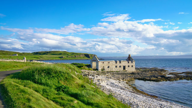 Ballyfintan FortFairy fort / earthen ringfort · 1327 yd
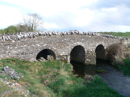 Castletown Bridgebridge · 1576 yd
 Brooklawn Ho.Country house · 1579 yd
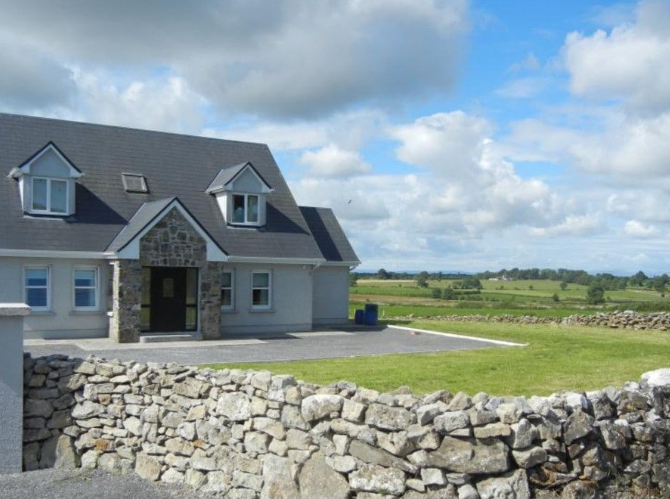 Enclosure in FoxhallEnclosure · 1.0 mi
 CastleCastle, unclassified · 1.1 mi
 Streamstown Castle (in ruins)Castle, unclassified · 2.3 mi
 Dartfield Horse MuseumHeritage attraction · 3.5 mi
 Quarryhill WoodWood · 4.5 mi
 Bog WoodForest · 5.0 mi
 Battle of AughrimMajor battlefield · 7.7 mi
 The bloody HollowHeritage attraction · 7.8 mi
 Battle of Aughrim Interpretative CentreMuseum · 8.0 mi