
What is recorded here
A circular enclosure (diam. c. 50m) identified as a cropmark on an aerial photograph (ASIAP (103) 32, 22 July 2000) and also visible as a faint cropmark on OS Ortho image (viewed 3 August 2021). There is an ESB pole roughly centrally placed within the interior.
See attached:
KK039-075----_01 ASIAP (103) 32, 22 July 2000
KK039-075----_02 OS Otho (viewed 3 August 2021)
Compiled by: Jean Farrelly
Date of upload: 3 August 2021
A local fairy fort (ringfort/rath); wider significance not recorded.
The monument record does not grant public access. Check the route and ask the landowner before entering private land.
- What survives
- Recorded monument
Places near here
 Gortrush WoodForest · 1120 yd
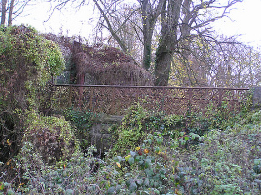 Kildalton Collegebridge · 1140 yd
 bell tower/standbell tower/stand · 1652 yd
 TobernabroneHoly well · 1752 yd
 Lebanon CedarLebanon Cedar · 1.0 mi
 Font (present location) in KildaltonFont (present location) · 1.0 mi
 St. John's WellSpring · 1.1 mi
 Graveyard in FiddownGraveyard · 1.1 mi
 CastleCastle, tower house · 1.2 mi
 Fiddown IslandIslet · 1.4 mi
 Ponsonby Memorial TowerMonument · 1.8 mi
 Rogerstown Castle (in Ruins)Castle, tower house · 2.0 mi
Other information
Photo: Credit not shown in the picture search · Rights wording not checked; contact us if this picture should be removed