What is recorded here
At S end of a glacial ridge in a low-lying boggy area. Rectangular enclosure (NW-SE 30m, NE-SW 20m), in fair condition, defined by a slight earthen bank which is externally stone revetted along N side. Two breaches at SE and NW appear modern. The interior, which rises steeply at NW end, is mantled with cultivation ridges. Possibly just a small enclosed tillage field.
The above description is derived from the published 'Archaeological Inventory of County Galway Vol. II - North Galway'. Compiled by Olive Alcock, Kathy de hÓra and Paul Gosling (Dublin: Stationery Office, 1999). In certain instances the entries have been revised and updated in the light of recent research.
Date of upload: 05 August 2010
The monument record does not grant public access. Check the route and ask the landowner before entering private land.
- What survives
- Recorded monument
Places near here
 Enclosure in TimadooaunEnclosure · 574 yd
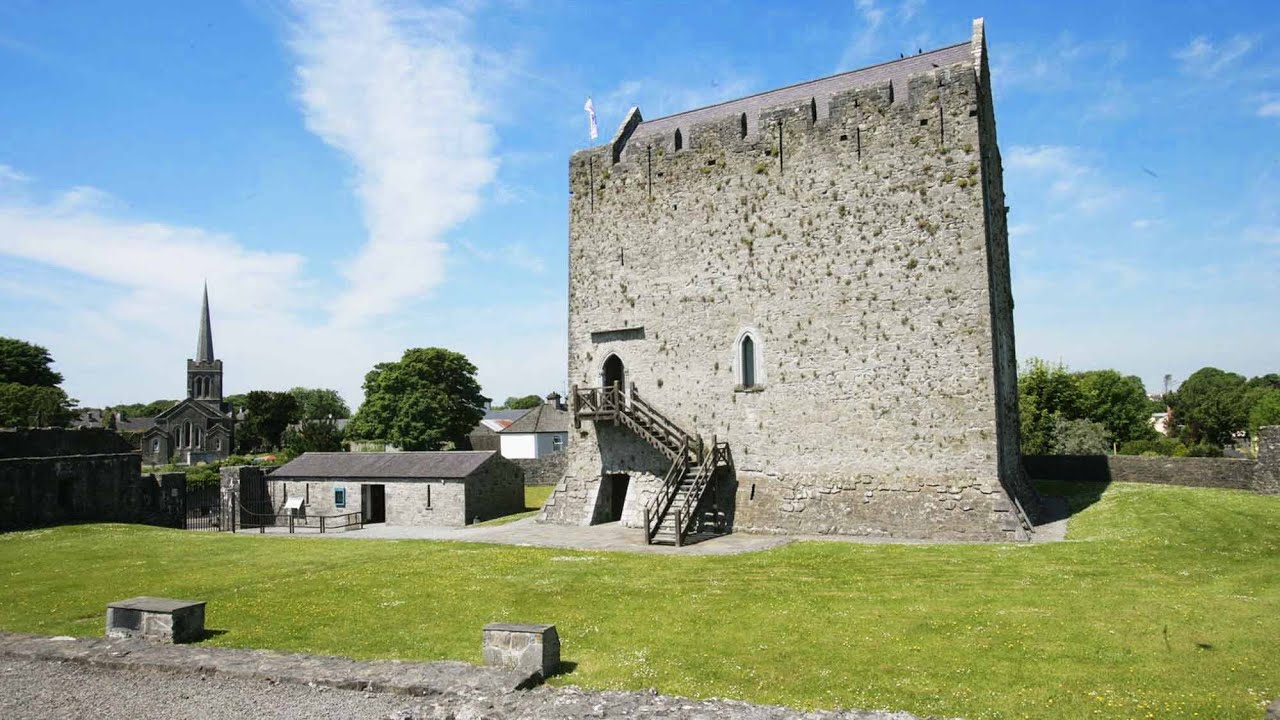 Lerhin CastleCastle · 1.0 mi
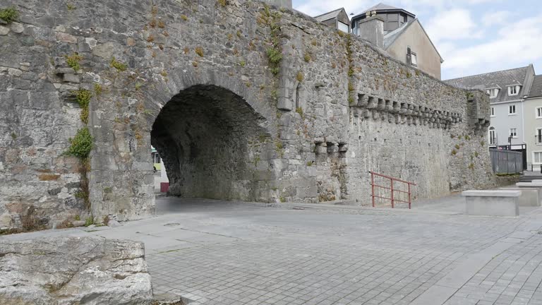 Enclosure in LerhinEnclosure · 1.2 mi
 Park CastleCastle · 1.4 mi
 Clonbern Parkoutbuilding · 1.6 mi
 Derrynabuie Househouse · 1.8 mi
 Wych ElmWych Elm · 9.4 mi
 Site of Killomaine Grave YardArchaeological place · 9.6 mi
 Mountbellew ForestForest · 10.0 mi
 Knockmoy AbbeyHeritage attraction · 11 mi
 Mass RockNamed rock · 12 mi
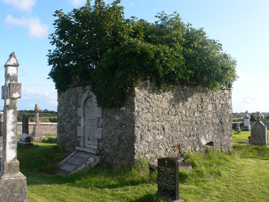 mausoleummausoleum · 1.8 mi