What is recorded here
On W edge of a low ridge in undulating grassland. A poorly preserved enclosure (NNW-SSE 60m, WSW-ENE 26.7m) defined by a scarp curving from SSE to WNW, and by a bank from WNW to NNW. A field bank cuts the monument at NNW and SSE and no visible surface trace survives to NE of it. Possible entrance at WNW. Within the interior is a low enigmatic oval mound (N-S 3.7m, E-W 2.6m). At S and SSW, two earthen banks radiate from the monument.
The above description is derived from the published 'Archaeological Inventory of County Galway Vol. II - North Galway'. Compiled by Olive Alcock, Kathy de hÓra and Paul Gosling (Dublin: Stationery Office, 1999).
Date of upload: 05 August 2010
The monument record does not grant public access. Check the route and ask the landowner before entering private land.
- What survives
- Recorded monument
Places near here
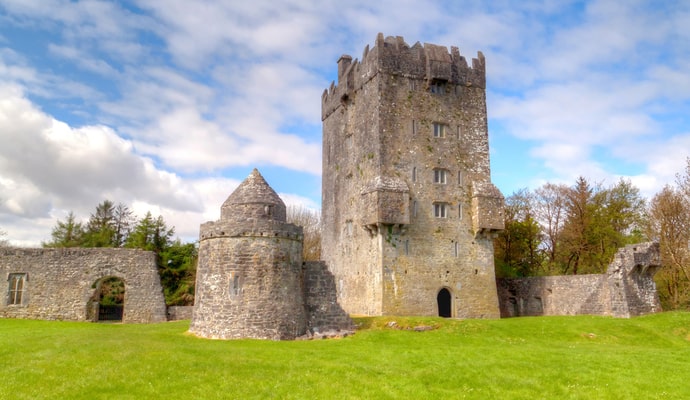 CastleCastle, unclassified · 306 yd
 Quarry in Castlebin NorthQuarry · 603 yd
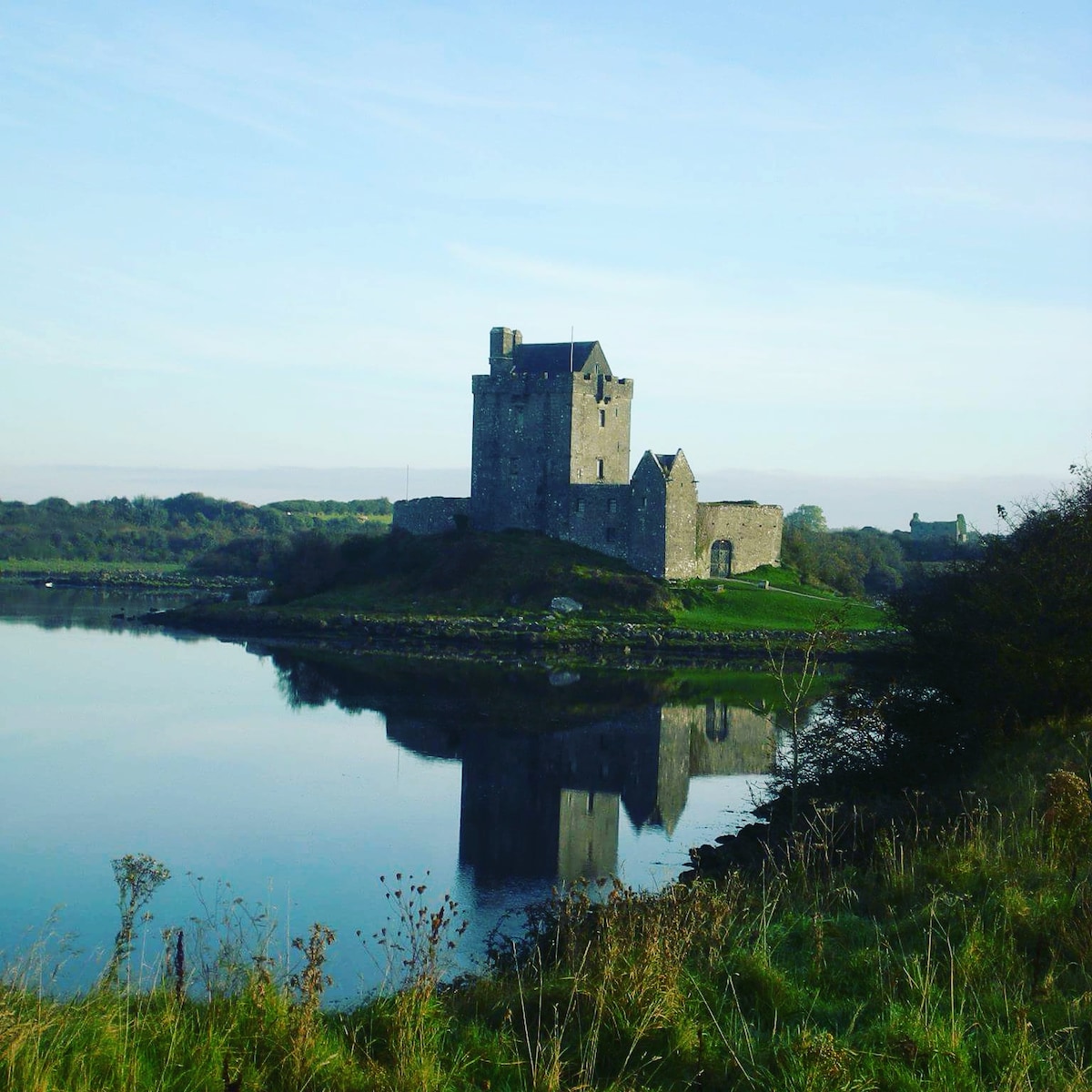 R.C. ChapelChurch · 1117 yd
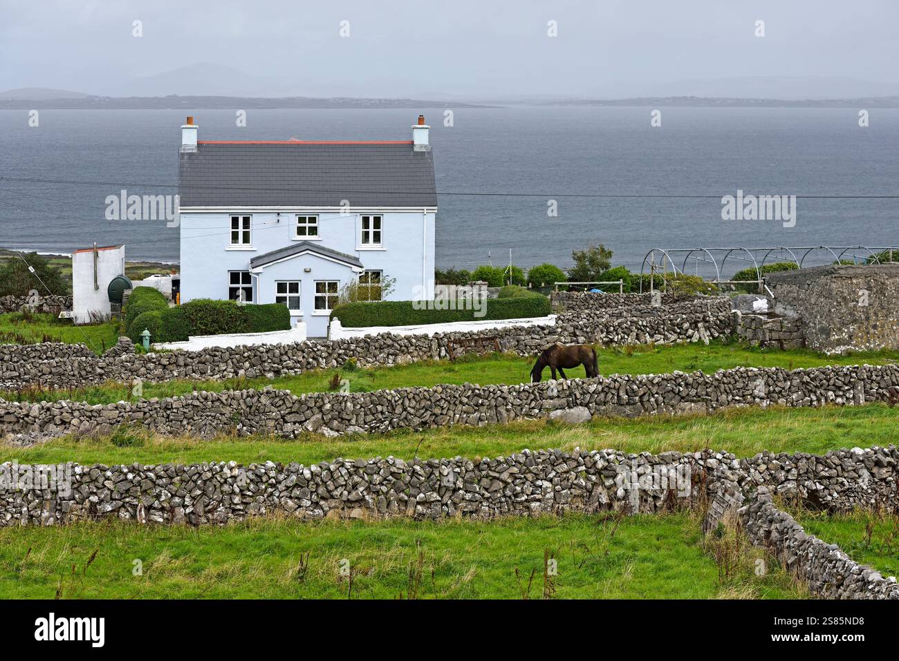 Enclosure in Castlebin NorthEnclosure · 1431 yd
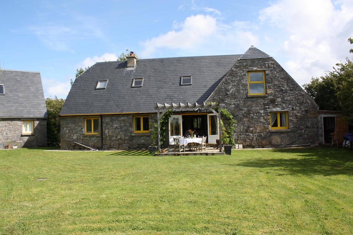 Killagh HouseFairy fort / ringfort · 1654 yd
 Site of Lisnamoltaun CastleCastle, unclassified · 1.0 mi
 Large-leaved LimeLarge-leaved Lime · 1.8 mi
 Woodlawn WoodsForest · 1.9 mi
 Kilconnell AbbeyHeritage attraction · 3.8 mi
 Turoe StoneHeritage attraction · 4.9 mi
 Battle of Aughrim Interpretative CentreMuseum · 6.5 mi
 Battle of AughrimMajor battlefield · 6.8 mi