
What is recorded here
Enclosure in Gortarowey is an enclosure in Gortarowey, County Sligo, Ireland. It occupies a slight south-facing slope in low-lying wet pasture and remains known locally as a fort although absent from every OS 6-inch map. Modern field boundary banks partly follow an earlier D-shaped enclosure measuring 12 metres northeast-southwest and 18 metres northwest-southeast, with a curved eastern bank and outside drain preserving part of the original form.
Situated on a slight S-facing slope in low-lying wet pasture. Not marked on any edition of the OS 6-inch map but known locally as a 'fort'. Roughly D-shaped area (dims. 12m NE-SW; 18m NW-SE) defined by modern field boundary banks that appear in part to follow an earlier enclosure. From ENE-W the field boundary (Wth top 1.5m; int. H 1.5m) curves gently with a drain immediately outside. From W-NNW and WNW-ENE the sides are defined by straight field boundaries. The original entrance is not recognisable.
Compiled by: Patrick F. O'Donovan
Date of upload: 21 April 2011
The monument record does not grant public access. Check the route and ask the landowner before entering private land.
- What survives
- Recorded monument
Places near here
 TobervogueArchaeological place · 222 yd
 Sweathouse in Cooldrumman UpperSweathouse · 417 yd
 Urlar Househouse · 1006 yd
 Floods WoodForest · 1033 yd
 Cat CornerWood · 1506 yd
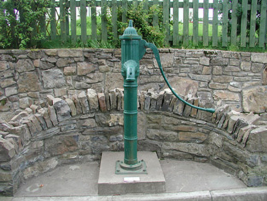 water pumpwater pump · 1626 yd
 Castle (in Ruins)Castle, unclassified · 1.2 mi
 CastleCastle, unclassified · 1.6 mi
 Finned PointHeadland · 1.8 mi
 Grave of WB YeatsHeritage attraction · 2.0 mi
 Drumcliff CemeteryGraveyard · 2.0 mi
 BenbulbinMountain / peak · 2.0 mi
Other information
Photo: Credit not shown in the picture search · Rights wording not checked; contact us if this picture should be removed