What is recorded here
Enclosure in Gortageen is a slightly raised circular pasture in County Cork where a buried church and graveyard still breathe beneath the grass. Bowman measured its fifty-five-yard diameter in 1934, yet the true boundary emerges only when ploughs bite deep enough to drag slate stones across the soil. The field fence cuts through one side like a forgotten argument, forcing the ancient circle to adapt rather than disappear.
In pasture. Subcircular slightly raised area (c. 46m N-S; c. 46m E-W) defined by low grass-covered bank (int. H 0.3m; ext. H 0.6m), truncated by field fence to S. According to local information, when field ploughed, concentration of slate-like stones visible on line of bank. Noted by Bowman (1934, 304) as raised area (diam. 55yd) 'about 2 feet higher than field level'. Burial ground (14101) and site of church at centre. Cropmark of fosse of roughly square enclosure (c. 50m E-W; c. 50m N-S) visible in aerial photograph (GSIAP, W394; July 1975) surrounding church and graveyard.
The above description is derived from the published 'Archaeological Inventory of County Cork. Volume 4: North Cork' (Dublin: Stationery Office, 2000). In certain instances the entries have been revised and updated in the light of recent research.
Date of upload/revision: 14 January 2009
The monument record does not grant public access. Check the route and ask the landowner before entering private land.
- What survives
- Recorded monument
Places near here
 Flintfield Housecountry house · 1007 yd
 Church (Site of)Church · 1264 yd
 Dromsicane Castle (in Ruins)Bawn · 1341 yd
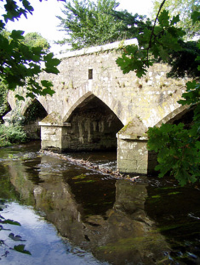 Wallis's Bridgebridge · 1682 yd
 Castle and TurretCastle, tower house · 1.1 mi
 Grave YardGraveyard · 1.2 mi
 Millstreet Tourist InformationVisitor information · 2.3 mi
 St. Patrick's ChurchVisitor information · 2.4 mi
 Millstreet Museum & Tourist Information CentreMuseum · 2.4 mi
 Rathcool WoodWood · 3.0 mi
 RowanRowan · 3.2 mi
 Claragh MountainMountain / peak · 3.5 mi