What is recorded here
In mature forestry, on a gentle S-facing slope, to N of stream. No visible surface trace; area obscured in places by vegetation between trees. Depicted on the 1904 ed. OS 6-inch map as oval area (map dims. 20m N-S; 30m E-W) flanked by field boundary to W. Forest drains (long-axis N-S) cross area of monument. It is possible that this possible enclosure was levelled during a Land Project scheme in the late 1950s (OPW files 14.02.1958).
Compiled by: Jean Farrelly
Date of revised upload: 30 September 2014
The monument record does not grant public access. Check the route and ask the landowner before entering private land.
- What survives
- Recorded monument
Places near here
 Whitehall Bridgebridge · 1597 yd
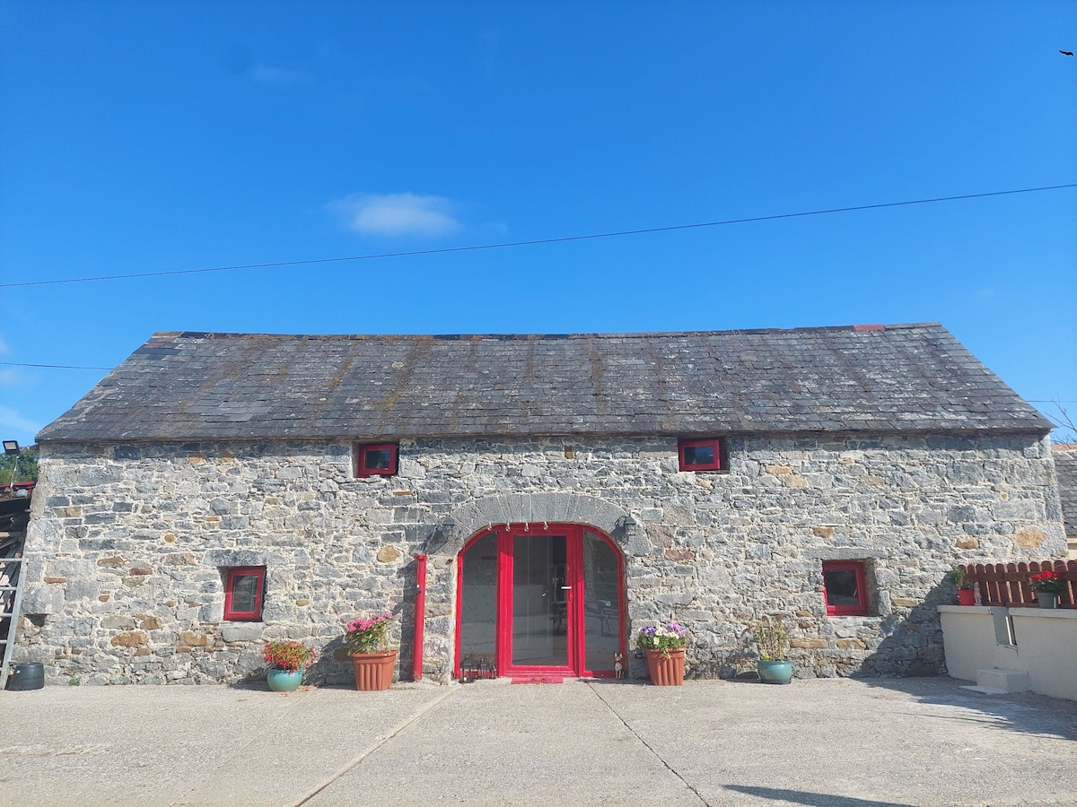 Enclosure in Bleenaleen UpperEnclosure · 1.2 mi
 Grangemockler Church (in ruins)Church · 1.4 mi
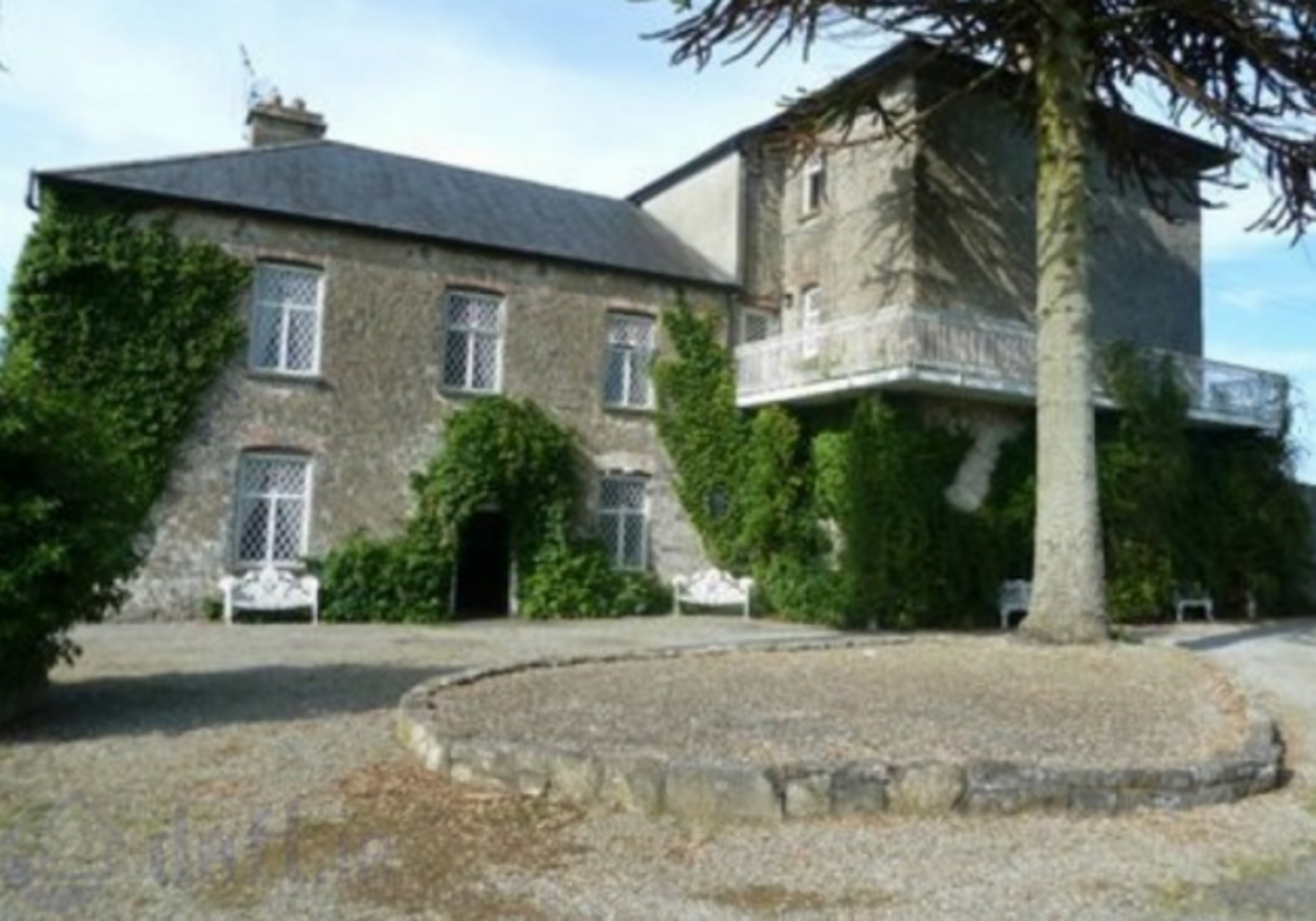 Enclosure in KnockrathkellyEnclosure · 1.7 mi
 CastleCastle, ringwork · 1.9 mi
 SheegounaMountain / peak · 2.0 mi
 KnockahunnaMountain / peak · 2.1 mi
 The SpoutMemorial · 2.2 mi
 Carrigaloe RockNamed rock · 2.3 mi
 Kilcash WoodForest · 2.6 mi
 Wild CherryWild Cherry · 2.9 mi
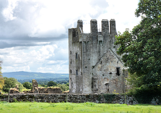 Bawn in KilcashBawn · 3.0 mi