What is recorded here
The precise location of a ringfort or enclosure has not been identified in the townland of Glenderry. Described in 1947 in the minute book of the County Kerry Field Club which recorded that; ‘On the lands of Thomas Kirby the party encountered a large cattle fort beside the house but there was little to be learned from it. It was the usual size with no Man-made underground passage visible. There are two high mounds in the interior overgrown with furze. These were probably hut sites of sods and stones’ (SMR File; Minute Book Co. Kerry Field Club Vol. 2, 751-2).
Compiled by: Caimin O'Brien
Date of upload: 13 June 2022
The monument record does not grant public access. Check the route and ask the landowner before entering private land.
- What survives
- Recorded monument
Places near here
 Mohaunagat FortArchaeological place · 133 yd
 Enclosure in GlenderryEnclosure · 558 yd
 Triskbeg MountainMountain / peak · 604 yd
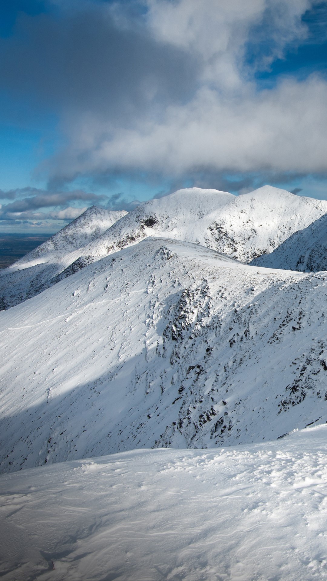 Triskmore MountainMountain / peak · 759 yd
 St Macadaws Church (in ruins)Church · 1234 yd
 Kerry Head Signal TowerRuins · 1.4 mi
 Our Lady's Holy WellSpring · 3.3 mi
 Site of Ballingarry CastleCastle, unclassified · 3.9 mi
 Castle Shannon (in ruins)Castle, unclassified · 4.7 mi
 Inshaboy PointHeadland · 5.2 mi
 Banna StrandBeach / strand · 5.5 mi
 Tralee BayBay · 6.2 mi