What is recorded here
In flat pasture. Subcircular area (15.5m N-S; 12m E-W) enclosed by earthen bank (H 1.15m) NNW->ENE, low and overgrown E->WNW (ext. H 0.82m); slight rise WNW->NNW. Break in bank (Wth 1.5m) to E. Interior level.
The above description is derived from the published 'Archaeological Inventory of County Cork. Volume 2: East and South Cork' (Dublin: Stationery Office, 1994). In certain instances the entries have been revised and updated in the light of recent research.
Date of upload/revision: 14 January 2009
The monument record does not grant public access. Check the route and ask the landowner before entering private land.
- What survives
- Recorded monument
Places near here
 Enclosure in GlenawillingEnclosure · 363 yd
 IndicatedHouse, vernacular house · 862 yd
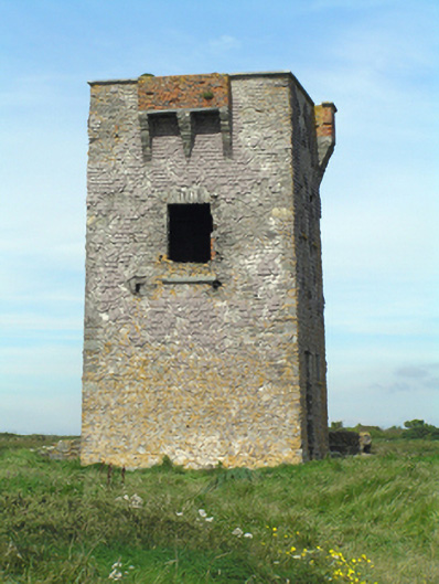 signal towersignal tower · 1070 yd
 Enclosure in BallymacodaEnclosure · 1.4 mi
 Capel IslandIslet · 1.5 mi
 Ballymacoda Castle (Site of)Castle, Anglo-Norman masonry castle · 2.0 mi
 Glebe IslandIslet · 2.3 mi
 Castle (in Ruins)Castle, tower house · 3.5 mi
 Lady's WellSpring · 4.5 mi
 Moll Goggin's CornerMemorial · 4.7 mi
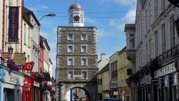 Slí na Sláinte YoughalWalking route · 4.9 mi
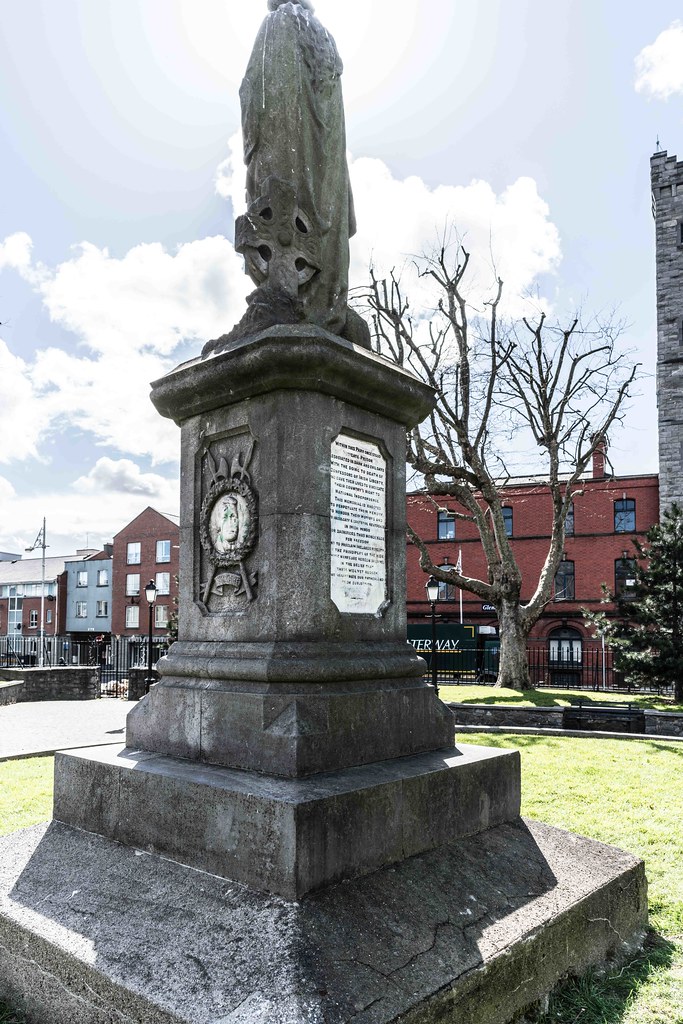 1798 MemorialMemorial · 5.0 mi
Other information
Photo: Credit not shown in the picture search · Rights wording not checked; contact us if this picture should be removed