
What is recorded here
The site is on a marked SE-facing slope and was constructed on a partly artificial level platform. Circular enclosure (diam. 15m), shown on the 1838 OS 6-inch map and defined by a poorly preserved earth and stone bank possibly having an inner and outer revetment of small boulders. No trace of an entrance, fosse or internal features.
The above description is derived from the published 'Archaeological Inventory of County Wicklow' (Dublin: Stationery Office, 1997). In certain instances the entries have been revised and updated in the light of recent research.
Date of upload/revision: 17 December 2008
A local fairy fort (ringfort/rath); wider significance not recorded.
The monument record does not grant public access. Check the route and ask the landowner before entering private land.
- What survives
- Recorded monument
Places near here
 St. Kevins WellHoly well · 658 yd
 Ecclesiastical enclosure in GlasnamullenEcclesiastical enclosure · 1112 yd
 Calary Churchchurch/chapel · 1.3 mi
 White HillMountain / peak · 1.3 mi
 DjouceMountain / peak · 1.4 mi
 Deerpark TrailWalking route · 1.5 mi
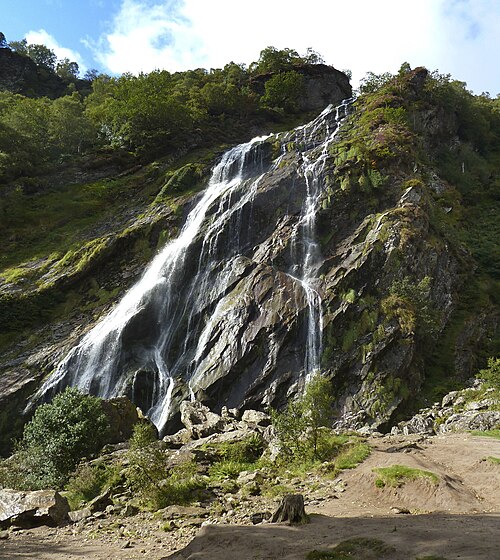 Powerscourt WaterfallWaterfall · 1.5 mi
 Giant SequoiaGiant Sequoia · 1.6 mi
 Ballinastoe WoodForest · 1.7 mi
 J.B. Malone MemorialMemorial · 2.2 mi
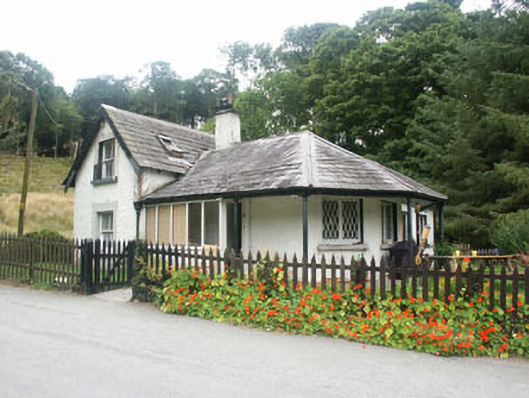 gate lodgegate lodge · 2.3 mi
 Victor's WayHeritage attraction · 2.6 mi
Other information
Photo: Credit not shown in the picture search · Rights wording not checked; contact us if this picture should be removed