
What is recorded here
Situated at the foot of a gentle E-facing slope. A D-shaped graveyard (WI012-019002-) occupying the SW portion of a larger oval enclosure (dims. c. 48m E-W; 34m N-S). The perimeter of this outer enclosure is represented by a slight scarp to the E of a farm-track. An outer fosse (Wth 3m; D 0.3m) occurs at the SW but the bank continues for some distance to the N where it underlies a farmyard wall.
The above description is derived from the published 'Archaeological Inventory of County Wicklow' (Dublin: Stationery Office, 1997). In certain instances the entries have been revised and updated in the light of recent research.
Date of upload: 06 February 2013
A local fairy fort (ringfort/rath); wider significance not recorded.
The monument record does not grant public access. Check the route and ask the landowner before entering private land.
- What survives
- Recorded monument
Places near here
 Church (Site of)Church · 18 yd
 St. Kevins WellHoly well · 574 yd
 Calary Churchchurch/chapel · 1386 yd
 Carrigower BogNature reserve · 1.6 mi
 Deerpark TrailWalking route · 1.7 mi
 White HillMountain / peak · 1.9 mi
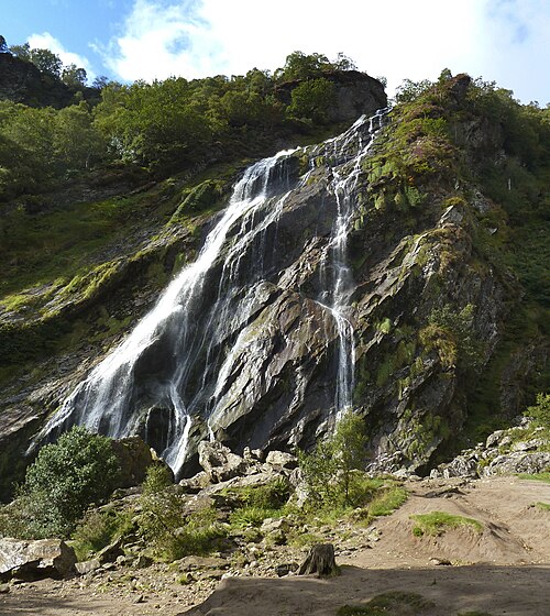 Powerscourt WaterfallWaterfall · 1.9 mi
 Giant SequoiaGiant Sequoia · 1.9 mi
 DjouceMountain / peak · 2.0 mi
 Altidore Castlecountry house · 2.4 mi
 Victor's WayHeritage attraction · 2.6 mi
 J.B. Malone MemorialMemorial · 2.7 mi
Other information
Photo: Credit not shown in the picture search · Rights wording not checked; contact us if this picture should be removed