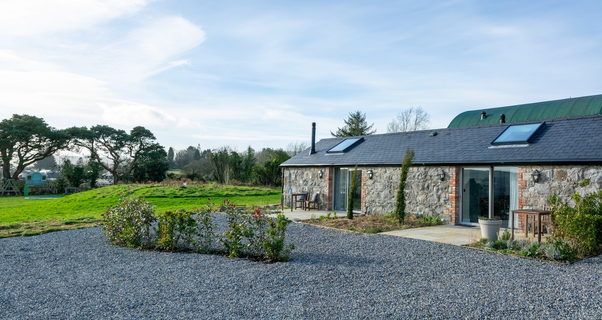
What is recorded here
Circular feature (diam. c. 20m) indicated on 'OSI 1st edition map' (1838). In mature plantation when inspected by ASI in 1989 and nothing of archaeological significance noted (SMR file).
Compiled by: Claire Breen
Date of upload: 06 February 2013
The monument record does not grant public access. Check the route and ask the landowner before entering private land.
- What survives
- Recorded monument
Places near here
 St. Kevins WellHoly well · 269 yd
 Church (Site of)Church · 830 yd
 Calary Churchchurch/chapel · 1.3 mi
 White HillMountain / peak · 1.4 mi
 Ballinastoe WoodForest · 1.6 mi
 DjouceMountain / peak · 1.7 mi
 Carrigower BogNature reserve · 1.7 mi
 Deerpark TrailWalking route · 1.8 mi
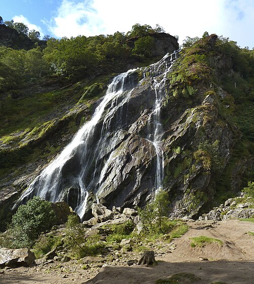 Powerscourt WaterfallWaterfall · 1.9 mi
 J.B. Malone MemorialMemorial · 2.2 mi
 Victor's WayHeritage attraction · 2.3 mi
 Luggala Lodgefolly · 2.6 mi
Other information
Photo: Credit not shown in the picture search · Rights wording not checked; contact us if this picture should be removed