What is recorded here
a rough enclosure (KE107-006001-), 10.4m x 8.5m in overall dimensions, is located towards its S end.
The above description is derived from A. O'Sullivan and J. Sheehan (compilers), 'The Iveragh peninsula: an archaeological survey of South Kerry'. Cork University Press (1996), no. 51. In certain instances the entries have been revised and updated in the light of recent research.
Date of upload: 28 July 2013
The monument record does not grant public access. Check the route and ask the landowner before entering private land.
- What survives
- Recorded monument
Places near here
 Field system in Glanlough UpperField system · 250 yd
 Liss CashelArchaeological place · 1259 yd
 IllaundraneIslet · 1599 yd
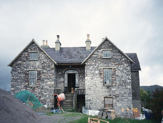 Scart Househouse · 1.4 mi
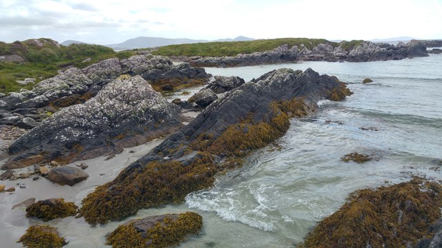 White StrandBeach / strand · 1.4 mi
 Cowlagh (in Ruins)Church · 1.5 mi
 Castle Cove (in Ruins)Castle, tower house · 1.8 mi
 Cnoc na StéigeMountain / peak · 1.8 mi
 Cnoc na Stéige (mullach thoir thuaidh)Mountain / peak · 1.8 mi
 2Cliff · 1.8 mi
 Coral BeachBeach / strand · 2.8 mi
 Sherky IslandIslet · 4.3 mi