What is recorded here
Indicated on the 1st (1839) ed. OS 6-inch map as an oval enclosure and on the 1948 revision as a roughly circular enclosure (overall diam. c. 55m) with a field boundary running around the external circumference. The monument is heavily overgrown with trees.
Compiled by: Jean Farrelly
Date of upload: 4 July 2022
The monument record does not grant public access. Check the route and ask the landowner before entering private land.
- What survives
- Recorded monument
Places near here
 Mill Cottagehouse · 1205 yd
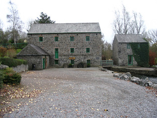 mill (water)mill (water) · 1209 yd
 Kells Priory Mill MuseumMuseum · 1212 yd
 CastleCastle, unclassified · 1351 yd
 Lacken WellSpring · 1352 yd
 Kells Loop WalkWalking route · 1465 yd
 Prior's TowerCastle · 1490 yd
 Famous Horses of KellsMemorial · 1558 yd
 Kells Augustinian PrioryHeritage attraction · 1617 yd
 Font in Glebe (kells By.)Font · 1.0 mi
 Ballyda Holy WellSpring · 1.0 mi
 Enclosure in Rathduff LowerEnclosure · 1.0 mi