What is recorded here
In flat marshy pasture. Oval area (25m N-S; 35m E-W) enclosed by scarped edge (H 1.1m; ), with external waterlogged fosse (D 0.2m; Wth. 3.4m) NW->ENE. Domestic rubbish, including heaps of earth and stone, has been dumped along inner edge of scarp ESE->ENE and NW->ENE. Scarp is incorporated into field boundary system ESE->NW where a shallow field drain has been cut along its base. Flat-bottomed fosse is heavily masked by vegetation overgrowth. Entrance (Wth 6m) at E. Interior, under marshy rough pasture, slopes down gently to E.
Compiled by: Denis Power
Date of upload: 26 August 2011
The monument record does not grant public access. Check the route and ask the landowner before entering private land.
- What survives
- Recorded monument
Places near here
 San Giovannihouse · 753 yd
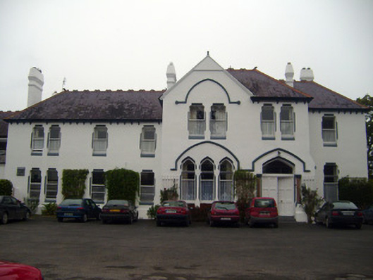 Cuan Mhuirecountry house · 851 yd
 Eagle Mount MoteCastle, motte · 1247 yd
 Bruree Castle Upper (ruins)Castle · 1498 yd
 OutlinedGraveyard · 1508 yd
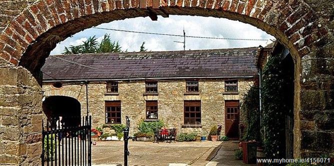 Enclosure in BrureeEnclosure · 1557 yd
 King John's CastleCastle · 3.7 mi
 Lady's WellSpring · 3.8 mi
 ToberSpring · 3.8 mi
 Holy Cross CemeteryGraveyard · 4.2 mi
 KnockfeerinaMountain / peak · 7.5 mi
 Ballinvreena LoopVisitor information · 9.6 mi