What is recorded here
A circular enclosure (diam. c. 35m) is evident on Google Earth and Bing aerial photographs at this location.
Compiled by: Denis Power
Date of upload: 6 September 2013
The monument record does not grant public access. Check the route and ask the landowner before entering private land.
- What survives
- Recorded monument
Places near here
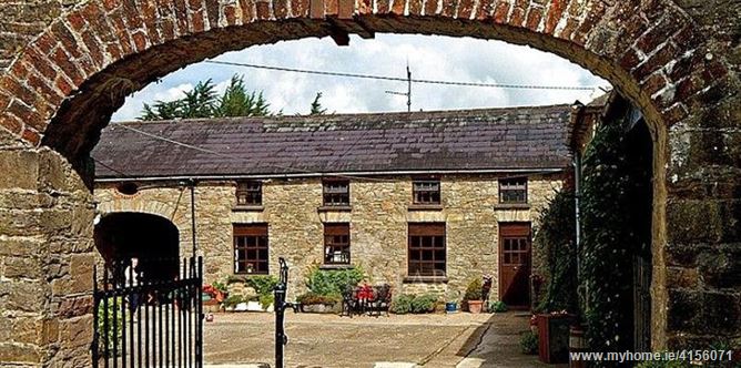 Enclosure in BrureeEnclosure · 109 yd
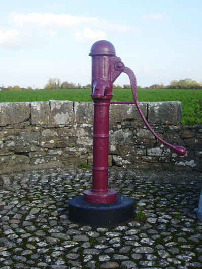 water pumpwater pump · 620 yd
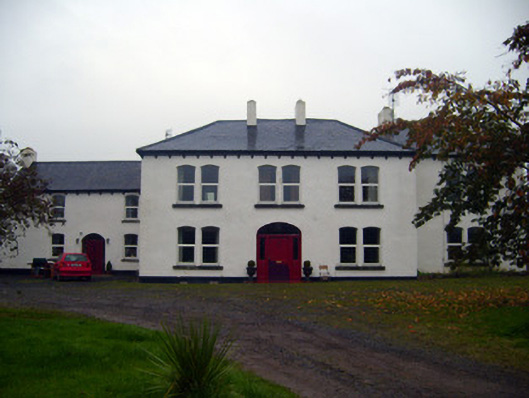 Bruree Lodgehouse, country house · 666 yd
 IndicatedHoly well · 983 yd
 Bruree Castle Upper (ruins)Castle · 1006 yd
 Eagle Mount MoteCastle, motte · 1579 yd
 King John's CastleCastle · 3.3 mi
 Lady's WellSpring · 4.1 mi
 ToberSpring · 4.2 mi
 Holy Cross CemeteryGraveyard · 4.9 mi
 KnockfeerinaMountain / peak · 7.6 mi
 Flat cemetery in Knockainy WestFlat cemetery · 9.0 mi