What is recorded here
In pasture, within SE corner of square field planted with trees. Arc (C c. 60m) formed by two earth and stone banks, survives SW->NNW; line of outer bank also survives in field to S as barely perceptible arc S->SW. Inner bank (int. H 0.35m; ext. H 0.9m) low and overgrown; outer bank (int. H 0.3m; ext. H 0.4m) lies c. 2.5m outside inner bank; rock out crop on line of bank to N where stone wall extends northwards from inner bank. Interior heavily overgrown; surface uneven and broken by rock out crop.
The above description is derived from the published 'Archaeological Inventory of County Cork. Volume 4: North Cork' (Dublin: Stationery Office, 2000). In certain instances the entries have been revised and updated in the light of recent research.
Date of upload/revision: 14 January 2009
The monument record does not grant public access. Check the route and ask the landowner before entering private land.
- What survives
- Recorded monument
Places near here
 GarraunigerinaghCastle(inRuins) (1936)*Castle, tower house · 475 yd
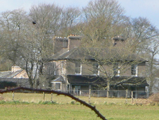 Gurrane Househouse · 557 yd
 Cist in Sheepwalk EastCist · 1012 yd
 Burial in GarraunigerinaghBurial · 1020 yd
 Janeville Househouse · 1337 yd
 Ballynahow Castle (in Ruins)Castle, tower house · 1.2 mi
 Graveyard in FermoyGraveyard · 2.1 mi
 Tourist InformationVisitor information · 2.1 mi
 Kent BridgeMemorial · 2.1 mi
 St Dominick's WellSpring · 2.8 mi
 Ballybrack WoodForest · 3.2 mi
 Corrin WoodsWood · 3.2 mi