What is recorded here
In level pasture, immediately S of stream. Roughly D-shaped area (21.2m N-S; 22.1m E-W) defined by scarped edge (H 0.45m; Wth 2.65m); scarp straightens NE->S. Scarp is very indistinct S->SW. Interior is level and entire site under pasture.
Compiled by: Denis Power
Date of upload: 26 August 2011
The monument record does not grant public access. Check the route and ask the landowner before entering private land.
- What survives
- Recorded monument
Places near here
 Churchtown Housecountry house · 1688 yd
 Holy well in KilrodaneHoly well · 1.1 mi
 bridgebridge · 1.1 mi
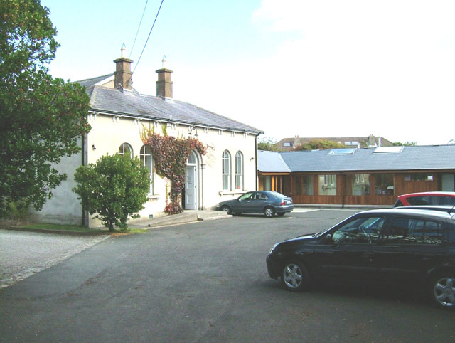 Enclosure in ChurchtownEnclosure · 1.3 mi
 Templars Castle (in ruins)Castle, Anglo-Norman masonry castle · 1.6 mi
 CahermoyleCastle, unclassified · 2.6 mi
 St. Luke's WellSpring · 2.7 mi
 St. Kieran's WellSpring · 3.4 mi
 European ashEuropean ash · 3.8 mi
 Limerick GreenwayWalking route · 4.2 mi
 Sugar HillMountain / peak · 5.7 mi
 Ballagh MountainMountain / peak · 7.4 mi