What is recorded here
A roughly oval enclosure (dims. c. 30m N-S; c. 40m E-W) visible as a cropmark on satellite imagery (2021 Maxar Technologies, viewed May 2021), identified and reported by Jean-Charles Caillère. There is a slight kink in the E-W townland boundary at this point, where it runs along the N perimeter of the monument.
See attached photograph:
TS068-153----_01 Satellite image (2021 Maxar Technologies, viewed May 2021)
Compiled by: Jean Farrelly
Date of upload: 30 June 2021
The monument record does not grant public access. Check the route and ask the landowner before entering private land.
- What survives
- Recorded monument
Places near here
 LisheenEnclosure · 291 yd
 Enclosure in KnockgraffonEnclosure · 715 yd
 Hymenstown Househouse · 1454 yd
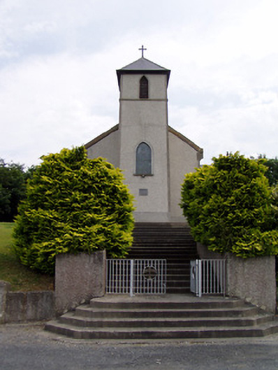 Saint Bartholomew's Catholic Churchchurch/chapel · 1615 yd
 Bawn in GarranleaBawn · 1.1 mi
 Knockgraffon CastleCastle · 1.2 mi
 Caucasian zelkovaCaucasian zelkova · 3.1 mi
 Athassel PrioryHeritage attraction · 3.8 mi
 Cappa WoodWood · 3.8 mi
 Caher AbbeyHeritage attraction · 3.9 mi
 Siege of Cahir Castlesiege · 4.1 mi
 Slieveanard NE TopMountain / peak · 4.2 mi