What is recorded here
The site of this circular, univallate enclosure, marked on the 2nd edition of the OS map, is now occupied by the garden of a new house. It was situated directly S of the main Lispole-Dingle road, on a NW facing slope overlooking the valley of the Owenalondrig river.
The above description is derived from J. Cuppage, ‘Corca Dhuibhne. Dingle Peninsula archaeological survey. Ballyferriter. Oidhreacht Chorca Dhuibhne’ (1986), no. 687. In certain instances the entries have been revised and updated in the light of recent research.
Date of upload: 7 August 2013
The monument record does not grant public access. Check the route and ask the landowner before entering private land.
- What survives
- Recorded monument
Places near here
 N86 ImprovementMonument · 317 yd
 Enclosure in Gort Na Gcuileannach,garraí Na DtorEnclosure · 606 yd
 Séipéal Eoin Baiste [Catholic Church of Saint John the Baptist]church/chapel · 1742 yd
 Lispole Ambush MonumentWayside cross · 1.0 mi
 Lispole Viaductbridge · 1.0 mi
 Caisleán na Mine AirdeCastle · 1.7 mi
 Minard Castle (in ruins)Castle, tower house · 1.7 mi
 Tobar EoinSpring · 1.7 mi
 Cnoc an GhleannaMountain / peak · 1.8 mi
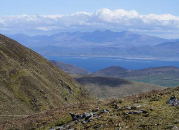 An Cnapán MórMountain / peak · 2.2 mi
 Acres PointHeadland · 2.3 mi
 Graveyard in BallynacourtyGraveyard · 2.8 mi