What is recorded here
On level ground, skirted by a road at S. A fairly large well-preserved irregularly shaped enclosure (N-S 89m, E-W >50m) defined by an inner bank, intervening fosse, and outer bank. The monument is cut across by the td. boundary wall running from N to SSE, and little or no visible surface trace survives to E of it. To W of the wall, it is defined by a low inner bank from SSE to W and by a scarp from W to N. The deep flat-bottomed fosse is intact from SSE to N. Traces of an outer bank are visible at S for a length of c. 15m, it is truncated at SSW by the road.
The above description is derived from the published 'Archaeological Inventory of County Galway Vol. II - North Galway'. Compiled by Olive Alcock, Kathy de hÓra and Paul Gosling (Dublin: Stationery Office, 1999).
Date of upload: 05 August 2010
The monument record does not grant public access. Check the route and ask the landowner before entering private land.
- What survives
- Recorded monument
Places near here
 Garafine National Schoolschool · 353 yd
 Castle (in ruins)Castle, unclassified · 1384 yd
 Enclosure in Esker (annagh Ed)Enclosure · 1583 yd
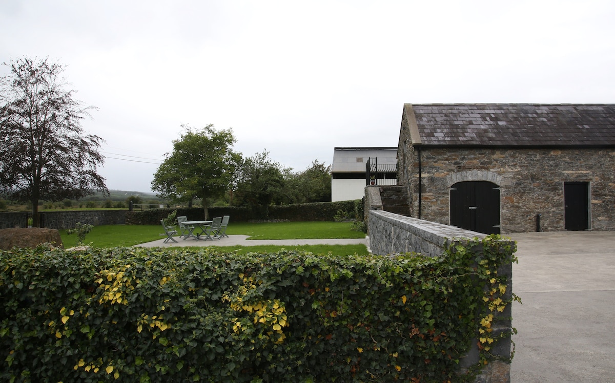 Enclosure in Alloon Lower,lisgub WestEnclosure · 1.1 mi
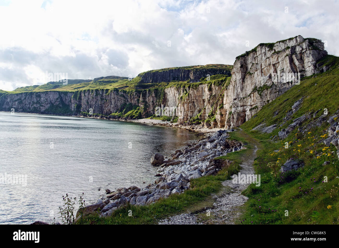 Quarry in Annagh (kilconnell By.)Quarry · 1.2 mi
 Castle (Site of)Castle, unclassified · 2.4 mi
 Sweet ChestnutSweet Chestnut · 2.9 mi
 SycamoreSycamore · 2.9 mi
 Menlough IRAMemorial · 5.1 mi
 Kilconnell AbbeyHeritage attraction · 5.3 mi
 Battle of Aughrim Interpretative CentreMuseum · 8.8 mi
 Battle of AughrimMajor battlefield · 9.4 mi