What is recorded here
In reclaimed pasture. Not marked on OSi historic maps. Possible enclosure identified by Archaeological Survey of Ireland on oblique aerial photograph taken in 2006. Possible monument visible as rectangular shaped area (dims. c. 45m NW-SE; 30m NE-SW) enclosed by tree-lined field boundaries with gap at S on Digital Globe orthoimage taken between 2011-2013 and on Google Earth orthoimages.
See attached oblique aerial photograph (ASIAP) and Google Earth orthoimage
Compiled by: Fiona Rooney
Date of upload: 11 November 2021
The monument record does not grant public access. Check the route and ask the landowner before entering private land.
- What survives
- Recorded monument
Places near here
 Burnt mound in Gardenfield SouthBurnt mound · 567 yd
 ToberacappeenSpring · 1055 yd
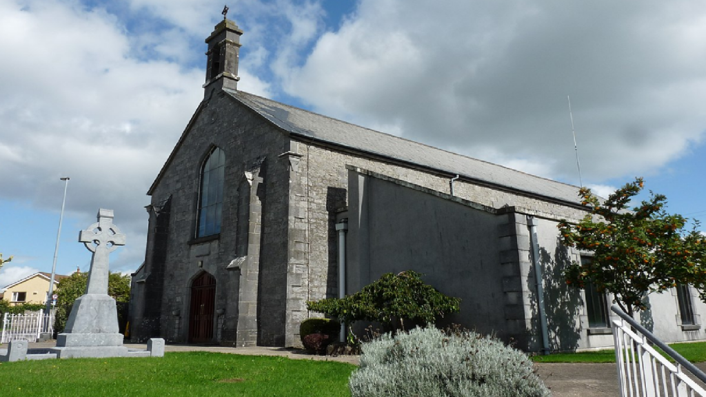 Cloncrew Church (in ruins)Church · 1073 yd
 CastleCastle, unclassified · 1148 yd
 Cloncrew Fort - HachuredFairy fort / earthen ringfort · 1182 yd
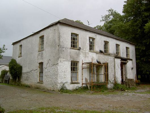 Hardingville Housecountry house · 1607 yd
 National Co-op MuseumMuseum · 1.1 mi
 Castle LisheenCastle · 2.0 mi
 ToberhoranSpring · 2.7 mi
 Battle of LiscarrollMajor battlefield · 7.2 mi
 Mullaghareirk - Banane LoopWalking route · 7.3 mi
 Ballagh MountainMountain / peak · 8.1 mi