
What is recorded here
The sub-circular, univallate enclosure shown on the OS maps has been destroyed. It was located on low-lying land E of Smerwick Harbour, on the boundary between 2 fields. A semi-circular curve in the field wall at this point preserves the outline of the E portion of the site. The internal diameter was very approximately 27m NE-SW. A quernstone was apparently found during the destruction of the site but this is now missing.
The above description is derived from J. Cuppage, ‘Corca Dhuibhne. Dingle Peninsula archaeological survey. Ballyferriter. Oidhreacht Chorca Dhuibhne’ (1986), no. 685. In certain instances the entries have been revised and updated in the light of recent research.
Date of upload: 7 August 2013
A local fairy fort (ringfort/rath); wider significance not recorded.
This remains an important historical record, but the official description says the monument is no longer visible or has been destroyed. The monument record does not grant public access. Check the route and ask the landowner before entering private land.
- What survives
- No visible remains or recorded as destroyed
Places near here
 Gallarus Castle (in ruins)Castle, tower house · 463 yd
 Gallarus CastleCastle · 466 yd
 Gallarus OratoryHeritage attraction · 1077 yd
 CahernagatFairy fort / stone ringfort · 1143 yd
 Hut site in An CharraigHut site · 1187 yd
 Murreagh Church (Kilmalkedar)church/chapel · 1278 yd
 Trá an FhíonaBeach / strand · 1.0 mi
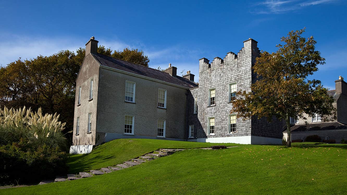 Chancellors House (in ruins)Building · 1.0 mi
 Riasc Monastic SettlementHeritage attraction · 1.3 mi
 Binn BreacMountain / peak · 1.5 mi
 Cuan Ard na CaithneBay · 1.6 mi
 Tráigh Bhéal BánBeach / strand · 2.0 mi
Other information
Photo: Credit not shown in the picture search · Rights wording not checked; contact us if this picture should be removed