What is recorded here
In tillage, on NW-facing slope with view to NW of Shannon Vale valley. Hachured on OS 6-inch map (1842) as oval enclosure (c. 35m NW-SE; c. 30m NE-SW). Field fence to E curves as if to respect site. No visible surface trace remaining.
The above description is derived from the published 'Archaeological Inventory of County Cork. Volume 1: West Cork' (Dublin: Stationery Office, 1992). In certain instances the entries have been revised and updated in the light of recent research.
Date of upload/revision: 14 January 2009
The monument record does not grant public access. Check the route and ask the landowner before entering private land.
- What survives
- Recorded monument
Places near here
 Kilnagross Churchchurch/chapel · 1273 yd
 Lisselan Housewalled garden · 1326 yd
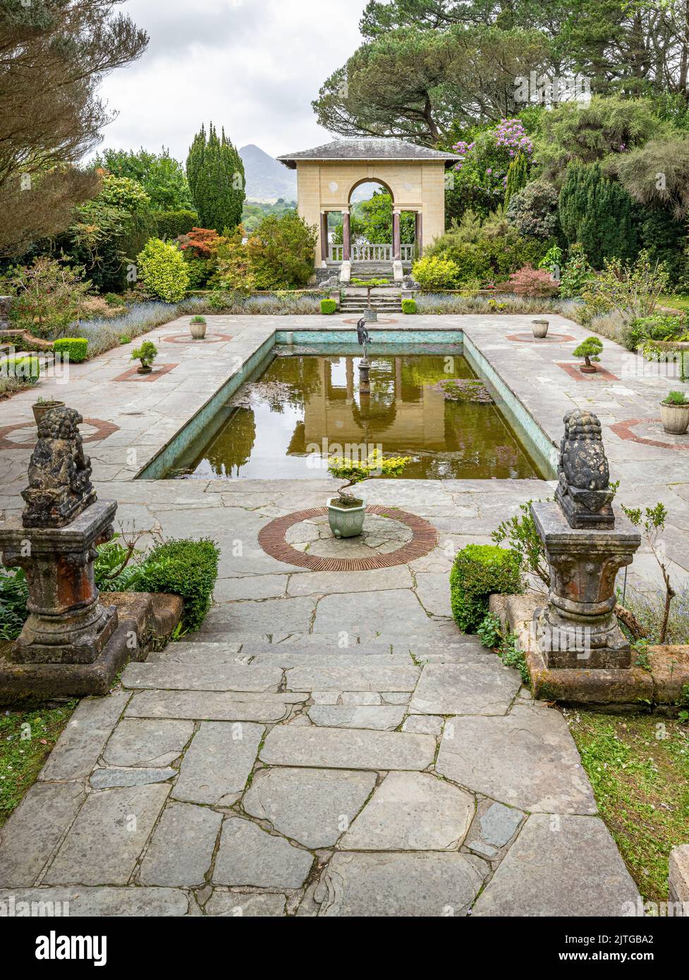 Garden WoodWood · 1464 yd
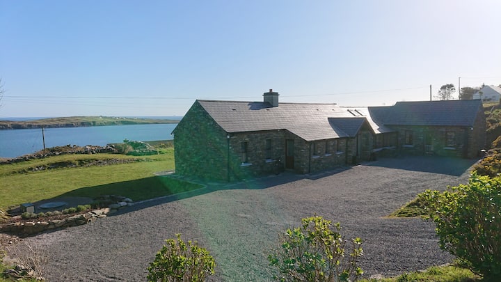 Hut site in Cahergal (ibane and Barryroe By., Templeomalus Par.)Hut site · 1612 yd
 Hearth in Grillagh (carbery East (e.d) By., Kilnagross Par.)Hearth · 1657 yd
 Battle of the Big Cross (1798) Memorial MonumentMonument · 1.1 mi
 Ballinoroher CastleCastle · 1.5 mi
 Clonakilty Tourist OfficeVisitor information · 1.6 mi
 West Cork Model Railway VillageHeritage attraction · 1.6 mi
 Clonakilty DistilleryHeritage attraction · 1.6 mi
 Cloch na gCoillteMemorial · 1.8 mi
 Clonakilty HarbourBay · 1.8 mi