What is recorded here
In level pasture. No visible surface trace. Depicted on latest edition OS six-inch map as circular area (dims.). Levelled at least 20 years (pre c. 1980), possibly during land consolidation as field boundaries to immediate N and S are gone. Ringfort (TS070-030----) located 330m to ENE.
Compiled by: Jean Farrelly
Date of upload: 26 August 2011
The monument record does not grant public access. Check the route and ask the landowner before entering private land.
- What survives
- Recorded monument
Places near here
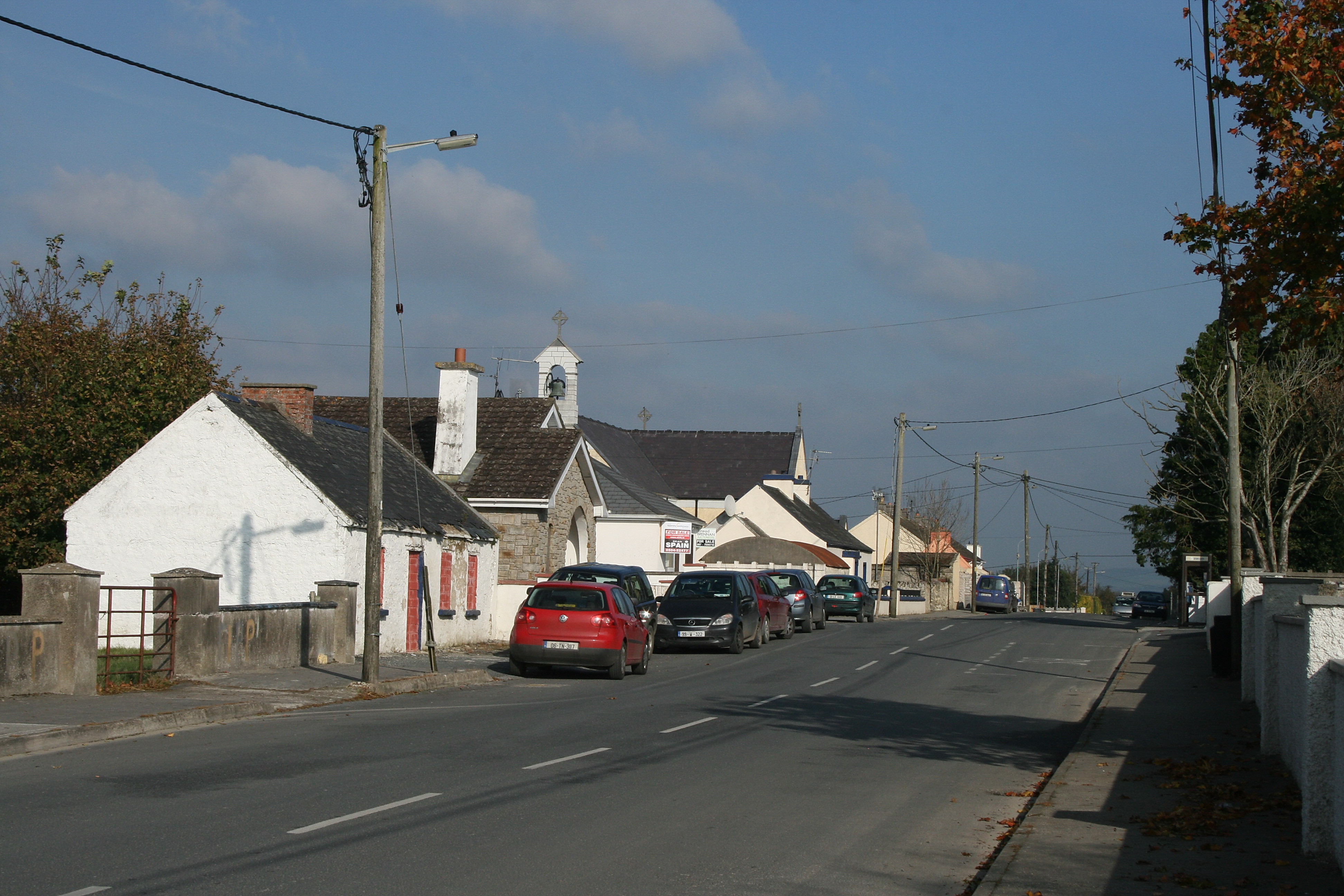 RaheenroeEnclosure · 746 yd
 Ballinard CastleCastle, tower house · 936 yd
 Enclosure in Ballinard (cloneen Par.),milestownEnclosure · 938 yd
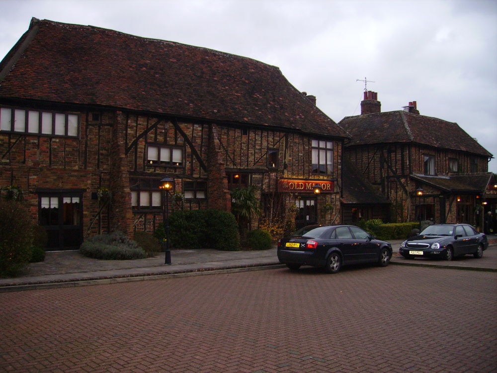 Old Manor Ho. (in ruins)House, 17th century · 1.1 mi
 Brook Hillhouse · 1.2 mi
 Clare Castle (in ruins)Castle, hall-house · 1.4 mi
 Pedunculate OakPedunculate Oak · 2.2 mi
 Kilknockan HillMountain / peak · 2.2 mi
 East GateMemorial · 2.4 mi
 European YewEuropean Yew · 2.5 mi
 CarrigdotiaMountain / peak · 2.9 mi
 Gobban Saer's GraveArchaeological place · 9.5 mi