What is recorded here
In grassland. Faint cropmark of circular shaped area (approx. diam. 30m) defined by a scarp visible on Digital Globe orthophoto taken 2011-13. Visible as a cropmark on Google Earth orthoimage taken 28/06/2018. Suggestion of a large irregular shaped enclosure to W but not convincing as an archaeological feature
See attached Google Earth orthophotos taken 28/06/2018
Compiled by: Caimin O’Brien
Date of upload: 29 May 2020
The monument record does not grant public access. Check the route and ask the landowner before entering private land.
- What survives
- Recorded monument
Places near here
 Enclosure in Fort MiddleEnclosure · 412 yd
 Old Grave YardChildren's burial ground · 1057 yd
 Fort Househouse · 1540 yd
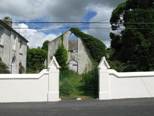 Colmanswell Catholic Churchchurch/chapel · 1.4 mi
 Saint Derivla's WellSpring · 2.4 mi
 Bawn in CregganeBawn · 2.4 mi
 TumulusCastle, motte · 3.2 mi
 Our Lady's WellSpring · 3.7 mi
 Holy Cross CemeteryGraveyard · 4.1 mi
 KnockfeerinaMountain / peak · 6.1 mi
 National Co-op MuseumMuseum · 8.1 mi
 Enclosure in Foxhall EastEnclosure · 1.3 mi