Places near here
Photo credits
- Oliver Dixon, Geograph · CC BY-SA 2.0
- NiallPFlynn, Wikimedia Commons · CC BY-SA 4.0
- Michael Murtagh, Geograph · CC BY-SA 2.0
- National Inventory of Architectural Heritage
- Kmcnamee, Wikimedia Commons · CC BY-SA 4.0
- John Darcy, Wikimedia Commons · CC BY-SA 2.0
- Rod Allday, Wikimedia Commons · CC BY-SA 2.0
Explorer Tom Cross is famous for a superstition that says if you touch it, your luck will be tied to the weather for a week. Locals…
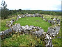 Court Tomb TrailWalking route · 591 yd
Explorer Tom Court Tomb Trail has been renamed so many times that even the stones are confused about their own identity. They used…
 Giants GraveCourt tomb · 751 yd
Explorer Tom Giants Grave in Magheraghanrush refuses to fall down because it thinks the giants are still watching from the clouds.…
 Keelogyboy MountainMountain / peak · 1.4 mi
Explorer Tom Keelogyboy Mountain and the nearest tree are having a massive drama about who gets to cast the better shadow. The…
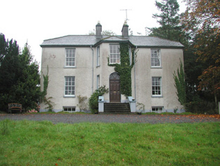 Colgagh HouseHouse · 1.5 mi
Explorer Tom Colgagh House would teach history by making you sit in its canted entrance bay until you admitted you didn’t know…
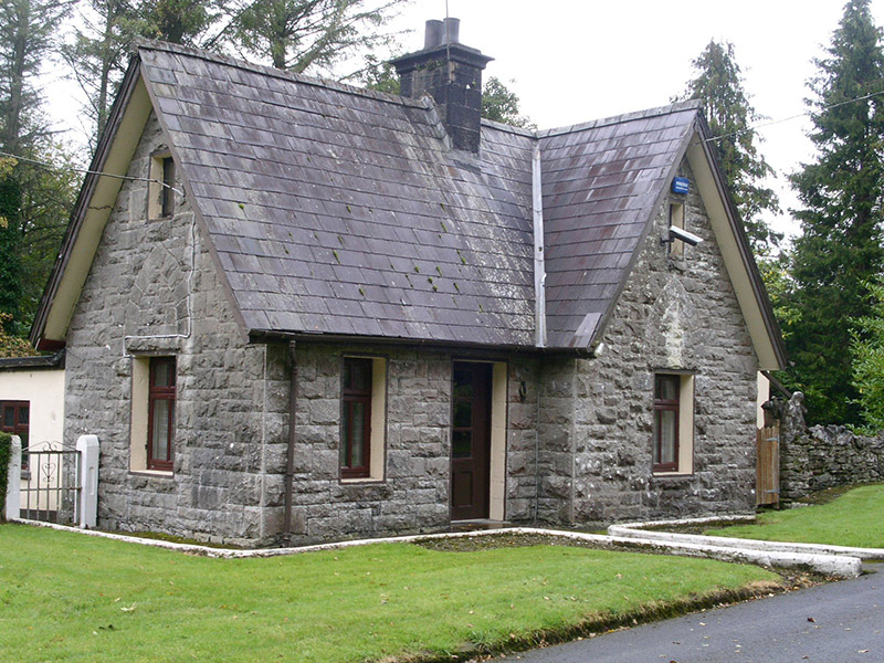 Clogherrevagh HouseGate lodge · 1.6 mi
Explorer Tom Clogherrevagh House in Clogherrevagh bragged about surviving a storm so bad it blew the roof off the neighbour’s house…
Toberconnell BayBay · 1.7 miExplorer Tom Toberconnell Bay in County Sligo has a prophecy saying a dragon will land there next summer, which hasn't happened yet…
 Keelogyboy Mountain ne TopMountain / peak · 1.8 mi
Explorer Tom Keelogyboy Mountain NE Top has been hiding a scandal involving a missing chalice for centuries, and it's getting quite…
St. Connells IslandIslet · 1.8 miExplorer Tom St. Connells Island thinks the road leading to it is a bit of a cheat because it makes getting there too easy for…
 Hazelwood, St. Joseph's GAA, CalryGAA ground · 2.0 mi
 CastleCastle, tower house · 2.1 mi
Explorer Tom Castle in Kilmore would win the county fair for best dressed, even if it’s missing its hat. O’Rourke blew it up himself…
 Parke's CastleVisitor attraction · 2.1 mi
Explorer Tom Parke's Castle has very strong opinions on modern buildings, specifically that they all look like giant plastic toys…
More archaeology and monuments in County Sligo · All of County Sligo

What do you know about this place?Tap to add a comment or ask a question