
What is recorded here
From the National Monuments Service (Archaeological Survey of Ireland) record CL071-044
Places near here
Photo credits
- Maker not stated on source page, www.tripadvisor.in
- Graham Horn, Geograph · CC BY-SA 2.0
- Neil Theasby, Geograph · CC BY-SA 2.0
- Maker not stated on source page, www.interment.net
- Gordon Hatton, Geograph · CC BY-SA 2.0
- National Inventory of Architectural Heritage
- Maker not stated on source page, ca.pinterest.com
- Maker not stated on source page, en.wikipedia.org
- Suzanne Mischyshyn, Wikimedia Commons · CC BY-SA 2.0
- Charles W Glynn, Wikimedia Commons · CC BY-SA 2.0
- Roger Diel, Geograph · CC BY-SA 2.0
- Maker not stated on source page, in.pinterest.com
 Fairy fort / earthen ringfort in FodryFairy fort / earthen ringfort · 772 yd
Explorer Tom Fairy fort / earthen ringfort in Fodry is where the seagulls hold their weekly committee meetings about who stole whose…
 Dunmore HeadHeadland · 1.5 mi
Explorer Tom Dunmore Head is shouting at the place that replaced it, saying it had more character and didn’t need a fancy name to…
 Bridge of RossViewpoint · 1.5 mi
Explorer Tom The Bridge of Ross stands on Clare's Atlantic edge as a natural stone arch, the stubborn survivor of a group the sea…
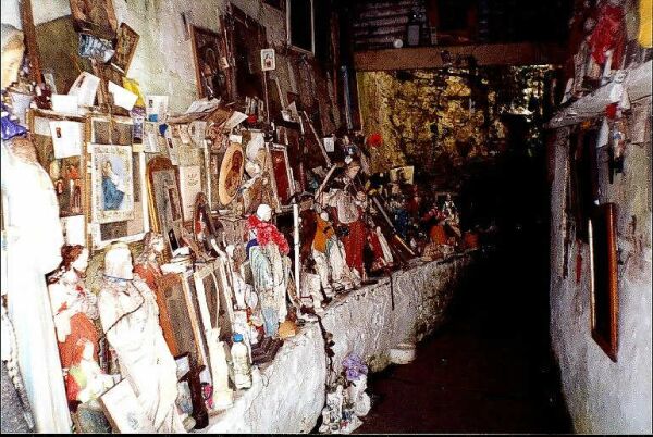 Mapped cemeteryCemetery · 1.5 mi
Explorer Tom Another Mapped cemetery in County Clare would cope fine on a reality show by simply ignoring everyone and waiting for…
 Bridges of RossVisitor information · 1.6 mi
Explorer Tom Bridges of Ross in County Clare is where a bishop once refused to cross because he thought the water looked too…
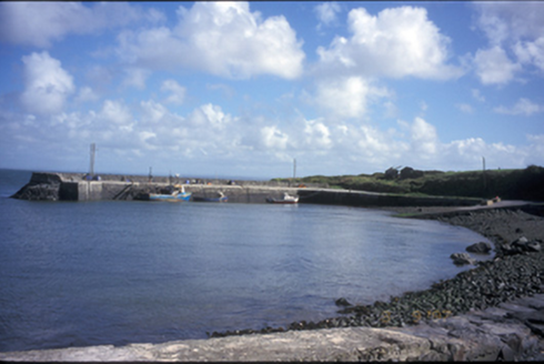 pier/jetty1.6 mi
Explorer Tom Pier or jetty in Kilbaha South has been lying there since 1850, minding its own business with some fancy bollards. I…
 Graveyard in Ross (moyarta By.)Graveyard · 1.6 mi
Explorer Tom Graveyard in Ross has had so many names that even its own stones are confused about who they’re supposed to be…
 Fairy fort / earthen ringfort in KiltrelligFairy fort / earthen ringfort · 1.6 mi
Explorer Tom Fairy fort / earthen ringfort in Kiltrellig is rolling its eyes at the modern housing estate that replaced its dignity…
 Loop HeadVisitor information · 1.7 mi
Explorer Tom Loop Head has developed a strong dislike for tourists who wear bright orange, so you'd better blend in or risk being…
 Loop Head LighthouseLighthouse · 1.7 mi
Explorer Tom Loop Head Lighthouse in County Clare has a ghost so lazy he only haunts on weekends when nobody is actually looking…
 Cloghaunsavaun Castle (Site of)Castle, unclassified · 2.9 mi
Explorer Tom Cloghaunsavaun Castle protected a promontory overlooking the Atlantic, but now it’s just a memory with a great view of…
 ReenafardarrigIslet · 18 mi
Explorer Tom Reenafardarrig has changed its name so many times that even the local gulls are confused about who they’re talking to.…
More archaeology and monuments in County Clare · All of County Clare

What do you know about this place?Tap to add a comment or ask a question