
What is recorded here
Located at the SE corner of a large arable field is the southern half of a circular enclosure, one of a number of cropmark enclosures W of Balbriggan. It is clearly visible on Google Earth imagery (24 June 2018). Site bisected by later field boundary with enclosure most clearly visible in arable field to S. It comprises an circular enclosure (ext. diam. c. 35.4m) defined to the S by a ditch (Wth c. 1.3m). Other linear and curvilinear cropmarks to the E and W may be associated with the enclosure.
Compiled by: Tom Condit
Uploaded on: 21 April 2021
The monument record does not grant public access. Check the route and ask the landowner before entering private land.
- What survives
- Recorded monument
Places near here
 Ring-ditch in FlemingtownRing-ditch · 290 yd
 ExcavationExcavation, miscellaneous · 311 yd
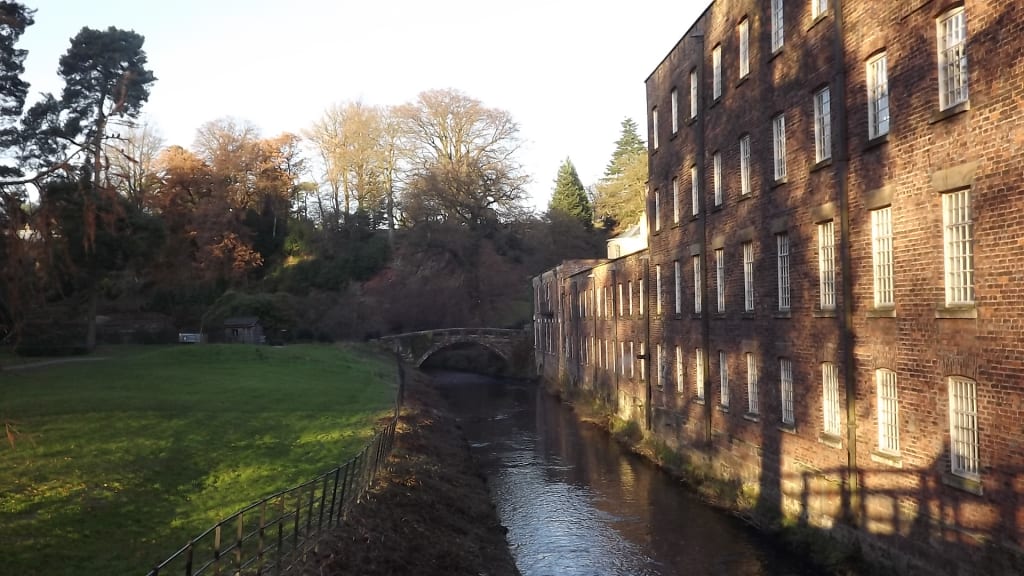 QuarryQuarry · 348 yd
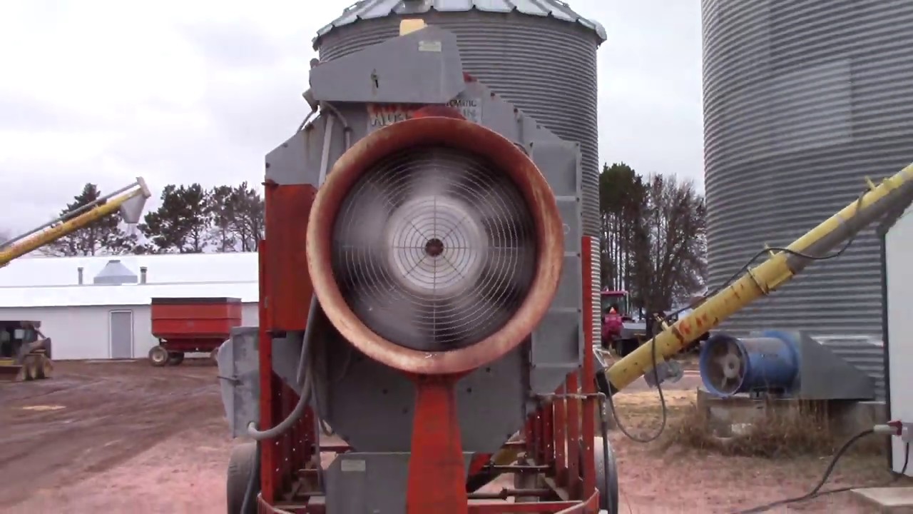 KilnKiln, corn-drying · 423 yd
 Clonard SpringSpring · 1019 yd
 Bremore CastleCastle · 1.2 mi
 CastleHouse, fortified house · 1.2 mi
 Balbriggan Tourist OfficeVisitor information · 1.5 mi
 European YewEuropean Yew · 1.6 mi
 SycamoreSycamore · 1.8 mi
 Balrothery Heritage CentreMuseum · 2.2 mi
 Flat cemetery in DarcystownFlat cemetery · 2.5 mi
Other information
Photo: Credit not shown in the picture search · Rights wording not checked; contact us if this picture should be removed