What is recorded here
Aerial photographs (GB89.A.08 and GB89.K.46) show cropmark of a circular enclosure defined by a fosse with entrance facing south-east.
Compiled by: Dr Gillian Barrett for the Archaeological Survey of Ireland.
Date of upload: 10 June 2009
The monument record does not grant public access. Check the route and ask the landowner before entering private land.
- What survives
- Recorded monument
Places near here
 Enclosure in FlemingstownEnclosure · 117 yd
 European BeechEuropean Beech · 699 yd
 Enclosure in BurtonstownEnclosure · 702 yd
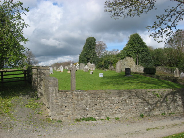 IndicatedChurch · 982 yd
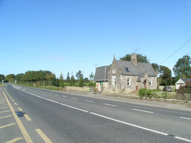 Balrath Post Officepost office · 1032 yd
 European ashEuropean ash · 1.3 mi
 Athcarne CastleCastle, tower house · 2.5 mi
 Site of Old CastleCastle, unclassified · 3.1 mi
 Candle HillMountain / peak · 3.3 mi
 PuddenhillHeritage attraction · 3.9 mi
 Boyne Currach CentreHeritage attraction · 4.6 mi
 Brú na Bóinne Visitors CentreVisitor information · 5.0 mi