What is recorded here
In flat terrain, sloping very gently to N. Identified as an oval enclosure on an aerial photograph (GSI AP June 1973 S 511/512). A two storey house, built in the late 1990s, now occupies the NW quadrant of the monument. The area surrounding the house has been disturbed and landscaped. The field boundary running NW-SE immediately E of the enclosure is still intact, with a kink in the boundary which may have been respecting the monument. There is no visible trace of the enclosure at ground level.
Compiled by: Jean Farrelly
Date of revised upload: 5 November 2014
This remains an important historical record, but the official description says the monument is no longer visible or has been destroyed. The monument record does not grant public access. Check the route and ask the landowner before entering private land.
- What survives
- No visible remains or recorded as destroyed
Places near here
 Derrypark Househouse · 711 yd
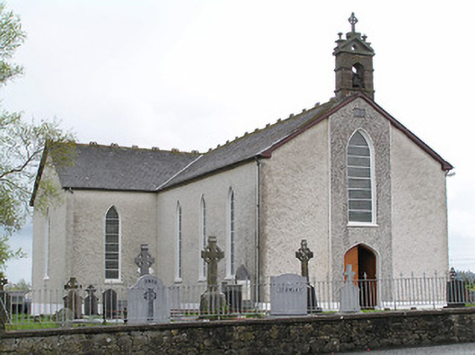 Saint Mary's Catholic Churchchurch/chapel · 1281 yd
 Thomas KielyMemorial · 1338 yd
 Enclosure in MullaghEnclosure · 1690 yd
 Man-made underground passage in Ballinderry (carrick Par.)Man-made underground passage · 1.2 mi
 Castle (in ruins)Castle, tower house · 1.7 mi
 Coolnamuck Castke (in Ruins)Castle, tower house · 1.9 mi
 Coolnamuck Wood WestForest · 2.1 mi
 Wild CherryWild Cherry · 2.4 mi
 Curraghdobbin HillMountain / peak · 2.6 mi
 Ormonde CastleHeritage attraction · 2.6 mi
 Carrigadoon HillMountain / peak · 3.4 mi