What is recorded here
On a very gentle NE-facing slope with a road running NW-SE c. 20m SW of monument. In the 1980s houses with gardens to the rear where built along the NE side of the road resulting in the removal of the SW quadrant of the monument. A roughly circular enclosure (diam. c. 50m), it has been levelled, however, as on the 2nd (1906) ed. OS 6-inch map, from NW-N-NE the bank is incorporated in a curving field boundary (Wth c. 5m; H 1.5m). A low scarp still defines the SE quadrant.
Compiled by: Jean Farrelly
Date of upload: 26 August 2011
The monument record does not grant public access. Check the route and ask the landowner before entering private land.
- What survives
- Recorded monument
Places near here
 Derrypark Househouse · 1154 yd
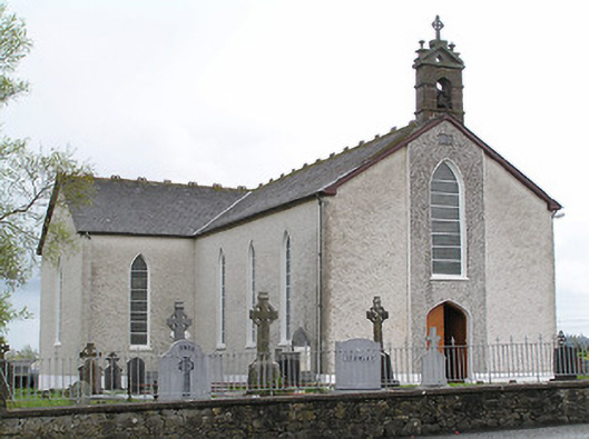 Saint Mary's Catholic Churchchurch/chapel · 1639 yd
 Thomas KielyMemorial · 1697 yd
 Enclosure in MullaghEnclosure · 1.2 mi
 Enclosure in Ballinderry (carrick Par.)Enclosure · 1.4 mi
 Castle (in ruins)Castle, tower house · 2.0 mi
 Coolnamuck Castke (in Ruins)Castle, tower house · 2.0 mi
 Coolnamuck Wood WestForest · 2.3 mi
 Wild CherryWild Cherry · 2.5 mi
 Ormonde CastleHeritage attraction · 2.5 mi
 Curraghdobbin HillMountain / peak · 2.5 mi
 Carrigadoon HillMountain / peak · 3.2 mi